Devastating Nepal floods were triggered by glacier collapse, experts say — and there's a risk of more landslides to come
Catastrophic floods in Nepal may have resulted from a "hazard cascade" that may have been amplified by climate change, one scientist has warned.
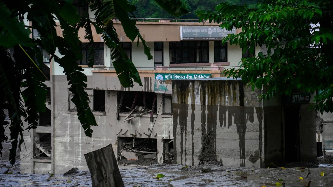
A glacier collapse early Wednesday in Nepal near the border with Tibet caused devastating flash floods that have left over 330 people dead and more than 1,500 missing, including 65 Americans. The Trishuli River's water level rose by 30 feet (9 meters) in just 30 minutes in the town of Galchhi, 20 miles west of Kathmandu. Videos showed people fleeing as mud and water destroyed buildings and uprooted bridges.
Although heavy monsoon rains were occurring, researchers ruled out rainfall as the trigger for the collapse, which instead appears to have been caused by a large collapse of glacier ice and rock. According to Jon Tunnicliffe, a river science researcher, the impact was so powerful that initial USGS seismic measurements were confused for an earthquake, though further analysis confirmed the signal originated from a glacial collapse.
Satellite images suggest the ice and rock entered the Lhende Kola river valley at an elevation of around 17,060 feet. Geomorphologists describe this as a hazard cascade, where instability high on a glacierized slope can trigger a larger event downstream. Tunnicliffe cautioned against attributing the disaster solely to climate change, noting that while conditions in the Hindu Kush Himalaya are rapidly changing with glacier retreat and slope destabilization, we still need to be cautious about specific event attribution.
The danger doesn't end after the initial surge; material deposited in the flood's wake can raise riverbeds, divert channels, and potentially create new dams, leading to further hazards. Basanta Raj Adhikari, director of the Centre for Disaster Studies at Nepal's Tribhuvan University, indicated there's a risk of secondary and tertiary waves in the coming days.
The broader lesson is that we need to manage hazard chains rather than individual hazards, incorporating satellite monitoring, seismic detection, river gauges, and warning systems into infrastructure planning and disaster preparedness.
Written by urgent.news from Live Science's reporting — not their text. Machine-written — may contain errors; check the original before relying on it.
Also reported by 9 other outlets
- Nepal glacier collapse kills over 469, triggers 5.2-magnitude tremor english.nv.ua
- India steps up glacier monitoring after Nepal disaster freemalaysiatoday.com
- What Triggered the Devastating Floods in Nepal and Tibet, and Are We Due for More in the Future? Here's What Scientists Know So Far smithsonianmag.com
- Disaster Experts Say Nepal Glacier Collapse Was Difficult to Predict nytimes.com
- India steps up glacier monitoring after Nepal disaster channelnewsasia.com
- India steps up Himalayan glacier monitoring after deadly Nepal–Tibet floods malaymail.com
- Nepal floods: Some bodies decompose beyond recognition, local govt to preserve DNA before remains are handled mothership.sg
- India, Nepal and beyond: When a glacier bursts, it harms and kills long after the water recedes indianexpress.com
- and 1 more