AI can be used to map hazards during disasters like Nepal floods: Kamal Bawa, Founder, ATREE
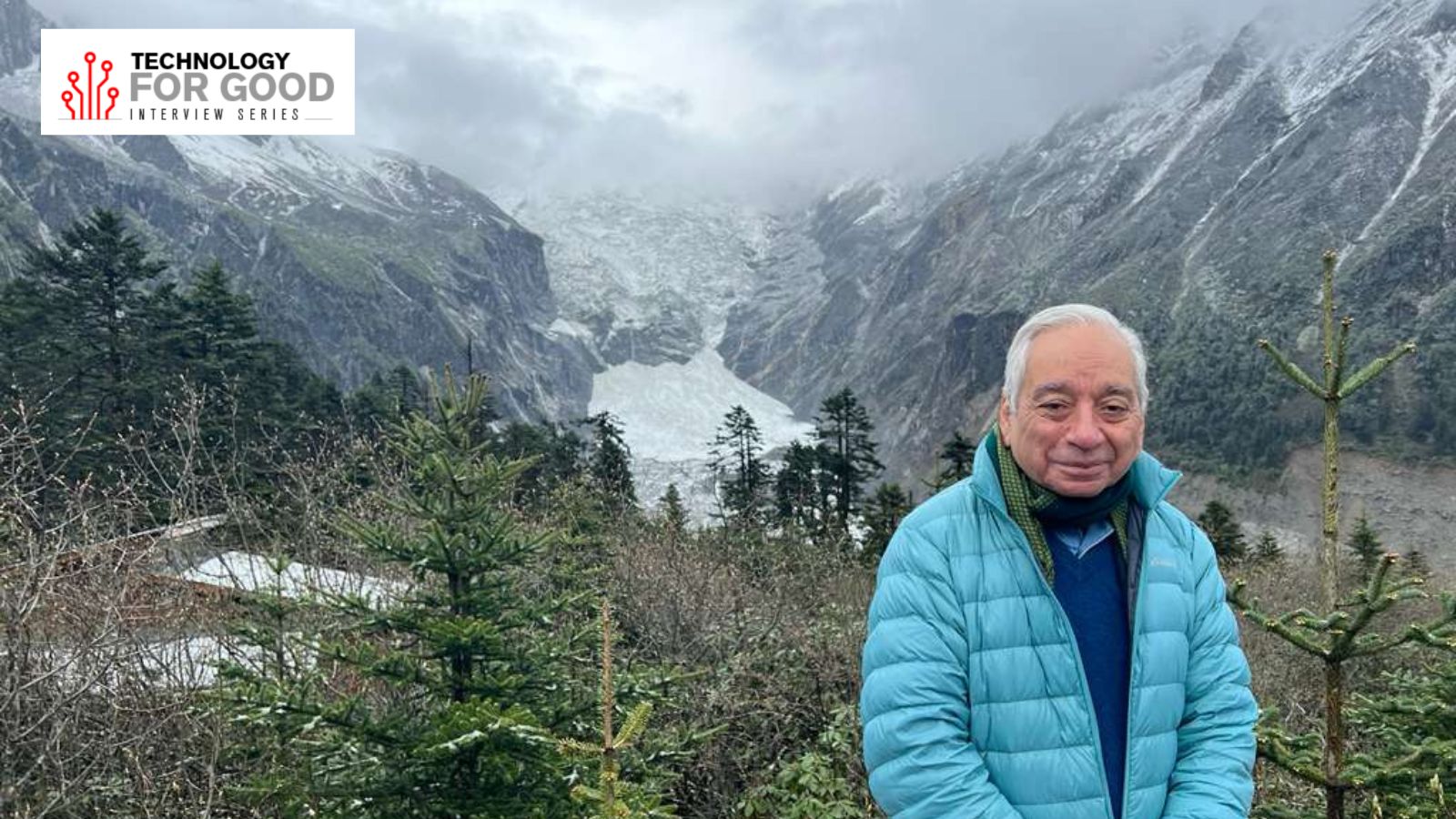
Kamal Bawa serves as the founder of the Bengaluru-based environmental think tank, Ashoka Trust for Research in Ecology and the Environment (ATREE), and is a distinguished professor of Biology at the University of Massachusetts, Boston. With over 200 research papers and 10 books to his name, Bawa has made significant contributions to biodiversity conservation and climate change studies in the Himalayas.
He has received numerous prestigious awards, including the Gunnerus Prize in Sustainability Science, the MIDORI Prize for Biodiversity, and the Linnean Medal.
In an interview with indianexpress.com, Bawa discussed ATREE's Himalaya Initiative, the role of technology in disaster prediction, and the impact of AI on biodiversity conservation. The Himalayas, a critically important landscape for India and the world, are home to an extraordinary level of biodiversity, with nearly two-thirds of India's species residing there. The region's fragile ecosystem is threatened by rapid population growth, infrastructure development, deforestation, and land degradation.
ATREE's Himalaya Initiative consists of five key components: conservation planning, restoring degraded land, fostering nature-based livelihoods, developing local human resources, and creating evidence-based policies. By utilizing geospatial mapping for land-use change, bioacoustics for monitoring wildlife, and AI-guided learning platforms for human resource development, ATREE aims to enhance its conservation efforts and promote sustainable development in the Himalayas.
During the recent Nepal-Tibet flood, a massive glacier collapse in Tibet caused a dam to break, releasing a torrent of ice and rock that submerged riverbanks, forests, and aquatic habitats. Such events pose significant challenges to biodiversity conservation due to the rapid erosion and destruction of ecosystems. Predicting such disasters remains difficult due to the lack of reliable methods for identifying unstable slopes prone to rock-ice avalanches.
However, satellite monitoring of glaciers and unstable terrain, coupled with drone surveillance and cross-border real-time sensor networks, could provide crucial early warning systems for disaster prevention.
AI-based multi-hazard mapping, which integrates glacial lake monitoring, snowmelt patterns, and monsoon flooding, can also improve disaster prediction. By combining data from various sources and utilizing machine learning algorithms, these models can help identify high-risk areas and alert authorities to potential disasters. However, the humanitarian impact of such disasters remains a pressing concern, as existing monitoring infrastructure is often overwhelmed or destroyed, hindering timely alerts and emergency response efforts.
Written by urgent.news from The Indian Express's reporting — not their text. Machine-written — may contain errors; check the original before relying on it.