World’s most powerful lightning-chasing satellite joins China-Nepal flood relief efforts
China is using the world’s most powerful geostationary weather satellite to track severe thunderstorms over Nepal and deliver real-time intelligence as the two countries continue search and rescue operations following last month’s devastating glacier collapse. The Fengyun‑4C satellite – launched in December 2025 and now positioned 36,000km (22,000 miles) above the equator – carries a Lightning…
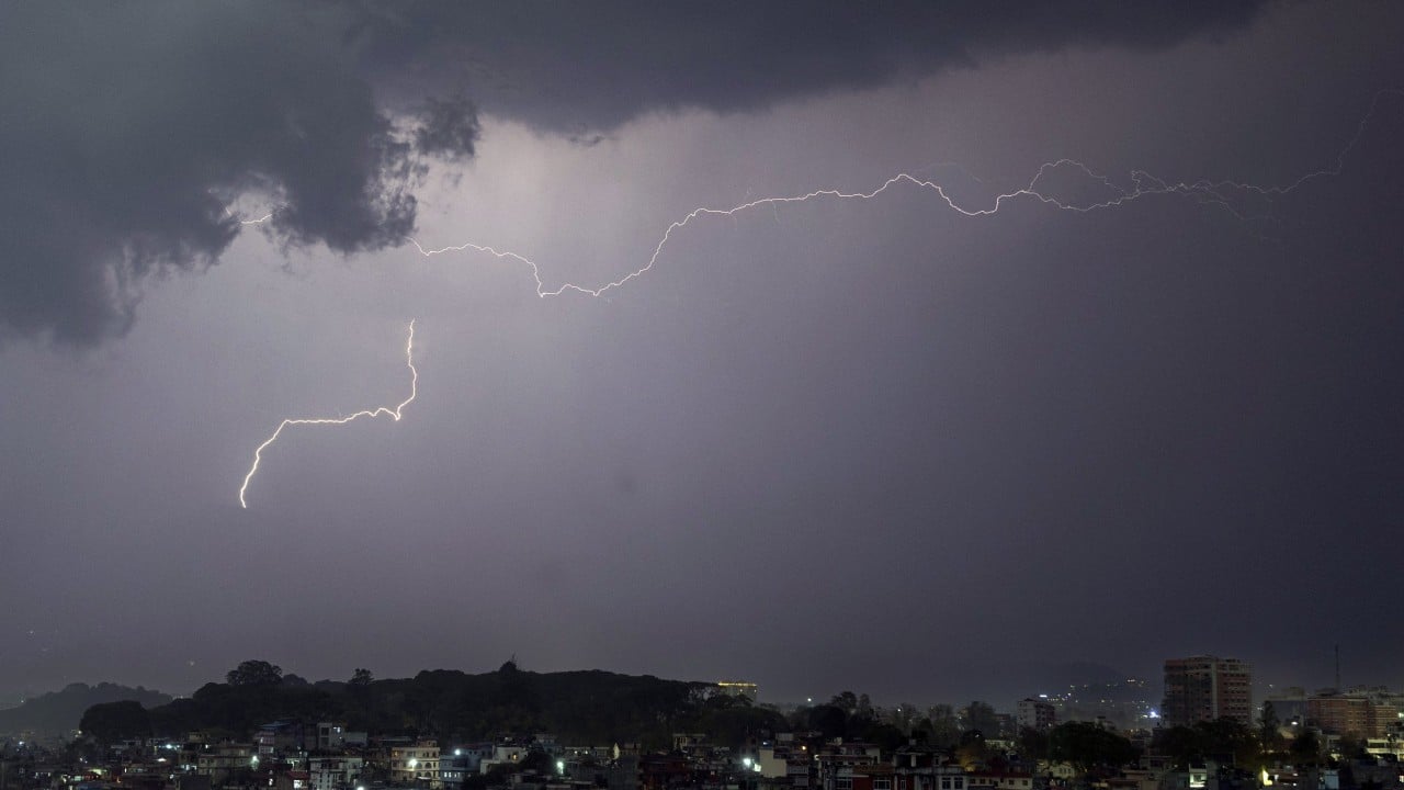
China is leveraging the world's most powerful geostationary weather satellite, Fengyun-4C, to monitor severe thunderstorms over Nepal and aid in rescue efforts following a recent glacier collapse disaster. Launched in December 2025, Fengyun-4C orbits the Earth 36,000km above the equator and features a Lightning Mapping Imager (LMI) that captures lightning activity at an unprecedented 500 frames per second, analyzing 30 gigabits of data every second.
This processing power is equivalent to watching 30 high-definition films simultaneously, each detecting traffic lights in every frame.
Upon the glacier disaster striking last week, China initiated cross-border emergency monitoring, relying on Fengyun-4C's continuous animation to provide a detailed, frame-by-frame view of lightning activity within severe storms. This data, combined with other meteorological information from the Fengyun-4C series, such as cloud animations, convective initiation data, and precipitation measurements, enables forecasters to track regional rainfall and weather changes in real-time, crucial for delivering accurate, early warnings.
The most visible sign of extreme weather, lightning, can indicate where storms are intensifying, their speed, and the potential for flash floods, landslides, or destructive winds. By tracking every lightning bolt, forecasters can issue more precise warnings, which is particularly vital during disaster relief operations when unstable weather poses risks to rescue teams and vulnerable communities.
China's National Satellite Meteorological Centre has established a dedicated early warning channel for Nepal, supplying rapid-scan imagery and lightning information directly to local authorities. The frequent updates and high spatial detail from Fengyun-4C enable early detection of intensifying storms, providing disaster managers with a clearer understanding of where floods, landslides, or thunderstorms might occur next.
Fengyun-4C is part of China's second-generation geostationary weather fleet, boasting technical capabilities two to three times superior to its predecessor, Fengyun-4B. The satellite complements its sister Fengyun-4C, monitoring roughly one-third of the planet's surface and observing the entire Asia-Pacific region, including the disaster zone.
Fengyun-4C also carries extreme-ultraviolet imagers and X-EUV flux monitors to detect solar flares and other space weather events before they threaten Earth, adding an additional layer of protection for communication and navigation systems supporting disaster relief efforts.
Written by urgent.news from South China Morning Post's reporting — not their text. Machine-written — may contain errors; check the original before relying on it.
This story
This is one outlet's version. Read the fullest account.