World’s most powerful lightning-chasing satellite joins China-Nepal flood relief efforts
China is using the world’s most powerful geostationary weather satellite to track severe thunderstorms over Nepal and deliver real-time intelligence as the two countries continue search and rescue operations following last month’s devastating glacier collapse. The Fengyun‑4C satellite – launched in December 2025 and now positioned 36,000km (22,000 miles) above the equator – carries a Lightning…
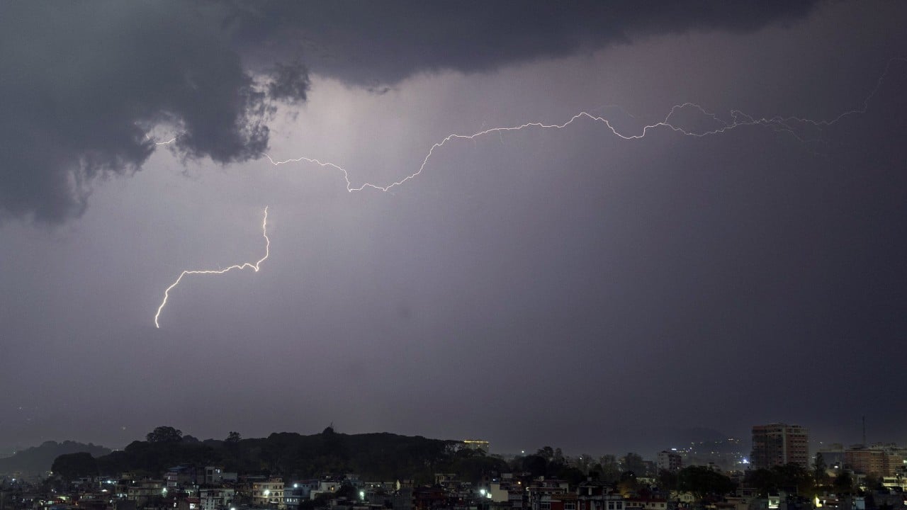
China is employing the world's most advanced geostationary weather satellite to monitor severe thunderstorms in Nepal and support search and rescue efforts following a recent glacier collapse disaster. The Fengyun-4C satellite, launched in December 2025 and orbiting 36,000km above the equator, is equipped with a Lightning Mapping Imager (LMI) that captures lightning data at an unprecedented 500 frames per second, processing 30 gigabits of information every second.
This processing power is equivalent to watching 30 high-definition films in real-time, allowing engineers to precisely track individual lightning strokes.
On the day of the glacier disaster, China initiated a cross-border emergency monitoring operation, leveraging the Fengyun-4C's continuous animation to provide meteorologists with a detailed, frame-by-frame view of lightning activity within severe storms. This data, combined with other satellite information from the Fengyun-4C series and Fengyun-3G satellite, enables forecasters to track regional rainfall and weather changes in real-time, identifying critical signs of storm intensification and potential flash floods or landslides.
China's National Satellite Meteorological Centre has established a dedicated early warning channel for Nepal, delivering real-time lightning imagery and data directly to local authorities. The satellite's high-resolution imagery and rapid scanning capabilities allow for early detection of storm intensification, providing disaster managers with crucial information to anticipate and respond to potential flood, landslide, or thunderstorm threats.
The Fengyun-4C satellite is part of China's second-generation geostationary weather fleet, boasting capabilities that are two to three times superior to its predecessor, Fengyun-4B. Operating in tandem, the satellite provides minute-level rapid scanning, hyperspectral atmospheric sounding, and continuous lightning surveillance across the entire Earth's disk beneath it. This comprehensive monitoring system covers approximately one-third of the planet's surface, currently including the disaster region in Asia-Pacific.
In addition to its lightning surveillance capabilities, the Fengyun-4C satellite also carries extreme-ultraviolet imagers and X-EUV flux monitors to detect solar flares and other space weather events, ensuring the protection of communication and navigation systems vital for disaster relief operations. The recent August 26 disaster that claimed at least 1,280 lives and left over 5,500 people missing highlights the importance of such advanced monitoring technologies in saving lives and mitigating the impacts of extreme weather events.
Written by urgent.news from Reuters Business via SCMP's reporting — not their text. Machine-written — may contain errors; check the original before relying on it.