Thunderquakes enable seismic imaging of Earth's shallow subsurface
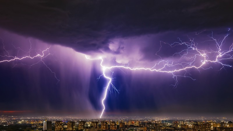
Seismic waves produced by thunderstorms, called thunderquakes, can be used as a novel source for seismic imaging, according to a new study led by researchers at Penn State.

This study, published in Science Advances, introduces a new method for seismic imaging using thunderstorms, termed "thunderquakes." Researchers at Penn State University developed this technique by leveraging existing fiber-optic telecommunications cables buried just a few feet below their University Park campus. By employing distributed acoustic sensing technology (DAS), they successfully captured seismic signals generated by atmospheric acoustic waves from thunder, which couple into the ground and produce seismic waves.
This innovative approach provides a proof of concept for using thunderquakes as seismic sources for tomography, allowing for imaging of the Earth's subsurface in areas with limited access to traditional seismic sources or where earthquakes are infrequent. The findings demonstrate the potential of this method in various applications, such as evaluating geohazards, assessing groundwater and mining resources, and studying volcanoes and magma pockets.
The research also highlights the possibility of using this technique for seismic imaging in challenging environments like the Arctic or highly regulated urban areas. By better understanding the atmosphere–solid Earth coupling, scientists can gain insights into both geosciences and meteorology, as well as improve our knowledge of seismic activity on other planets and moons.
Written by urgent.news from Phys.org's reporting — not their text. Machine-written — may contain errors; check the original before relying on it.
This story
This is one outlet's version. Read the fullest account.
- Using thunderquakes to X-ray earth – a new study shows urban seismology in action thehindu.com
- Using thunderquakes to X-ray Earth – a new study shows urban seismology in action theconversation.com
- NASA-led study shows some Earth microbes could survive on the moon japantimes.co.jp
- Using thunderquakes to X-ray Earth – a new study shows urban seismology in action hindustantimes.com