Quality Assessment Report Evaluates Polar Geospatial Center EarthDEM Elevation Products
CSDA’s assessment reports help inform the user community about the quality of commercial Digital Elevation Models (DEMs).
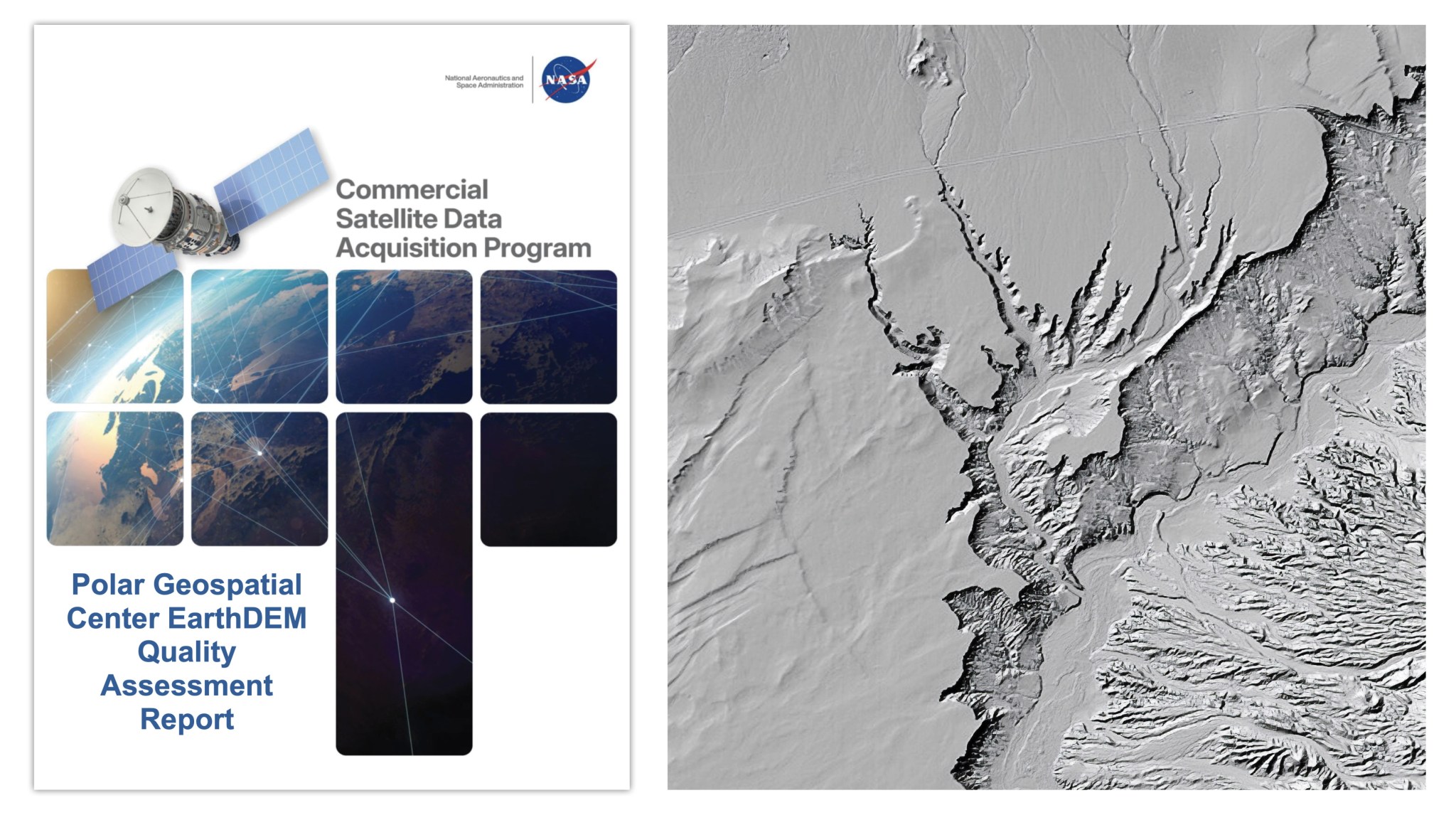
The Quality Assessment Report, released by NASA's Commercial Satellite Data Acquisition (CSDA) program, examines data from the Polar Geospatial Center's (PGC) EarthDEM product. The evaluation aims to provide NASA program management and the user community with valuable insights into the quality of commercial Digital Elevation Models (DEMs) for use in NASA science.
The report, issued on August 8, 2026, was conducted by NASA Digital Elevation Model (DEM) subject matter experts (SMEs) to assess the horizontal and vertical accuracy of the PGC EarthDEM 1 Digital Elevation Model products: the "Mosaic Tile" and "Strip" Digital Surface Models (DSMs). To evaluate the accuracy, the SMEs compared the EarthDEM products with airborne lidar data samples from various locations across the United States and Senegal.
The results of the evaluation show that the horizontal accuracy of the EarthDEM products, i.e., Strip DSM and Mosaic Tile, met the specifications provided by the PGC, earning them an "Excellent" grade. The horizontal accuracy was measured at 0.5 meters (m) Root Mean Square Error Horizontal (RMSEH) for Strip DSM and 0.3 m RMSEH for Mosaic Tile.
However, the vertical accuracy results did not meet the PGC's specifications as they varied depending on the land cover type, exceeding the 0.5 m Root Mean Square Error Vertical (RMSEV) limit. The vertical accuracy of the Strip DSM ranged from 4.6-6.8 m RMSEV, while the Mosaic Tile ranged from 4.9 m RMSEV, resulting in a "Basic" grade for vertical accuracy compliance.
Despite these limitations, the assessment report concludes that EarthDEM data can be effectively utilized for NASA Earth science research and applications, provided the data characteristics are compatible with the specific science objectives and use cases. The report also includes a Data Provider Documentation Review of the EarthDEM product, which evaluated information from the PGC website and a series of peer-reviewed publications by researchers at The Ohio State University's Byrd Polar and Climate Research Center.
Written by urgent.news from NASA's reporting — not their text. Machine-written — may contain errors; check the original before relying on it.
This story
This is one outlet's version. Read the fullest account.