Quality Assessment Report Evaluates Polar Geospatial Center EarthDEM Elevation Products
CSDA's assessment reports help inform the user community about the quality of commercial Digital Elevation Models (DEMs). The post Quality Assessment Report Evaluates Polar Geospatial Center EarthDEM Elevation Products appeared first on NASA Science .
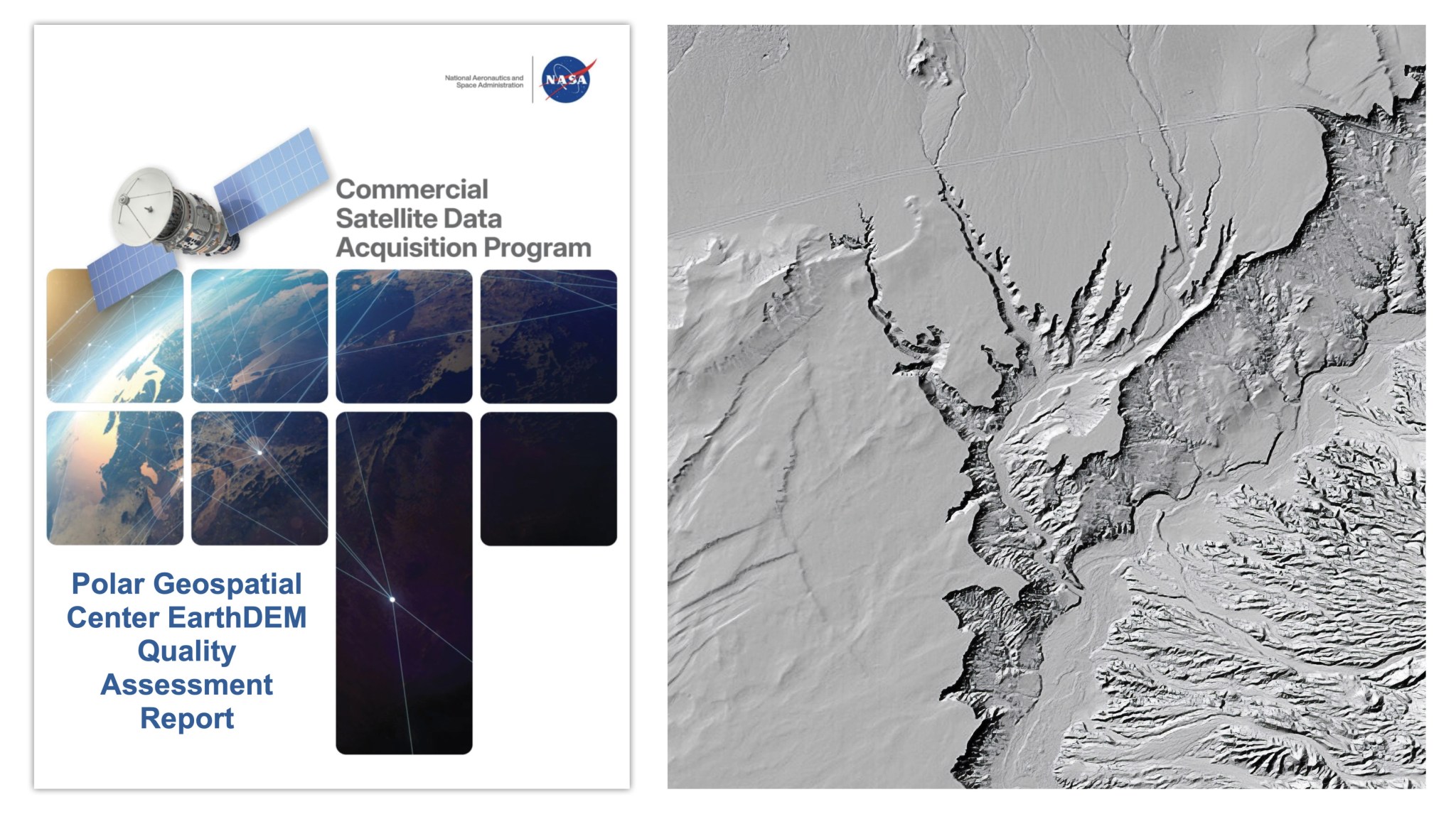
NASA’s Commercial Satellite Data Acquisition (CSDA) program published a quality assessment report on August 8, 2026, evaluating the EarthDEM elevation products from the Polar Geospatial Center (PGC). The report, conducted by NASA Digital Elevation Model (DEM) SMEs, examined the horizontal and vertical accuracy of two PGC EarthDEM 1 products: the "Mosaic Tile" and "Strip" Digital Surface Models (DSMs).
The horizontal accuracy of the EarthDEM products was graded as "Excellent," with the Strip DSM boasting a Root Mean Square Error Horizontal (RMSEH) of 0.5 meters and the Mosaic Tile at 0.3 meters. However, the vertical accuracy results were less impressive, with both the Strip DSM (5.6 meters RMSEV) and Mosaic Tile (4.9 meters RMSEV) products exceeding the PGC-provided specifications of 0.5 meters RMSEV.
While the Strip DSM vertical accuracy varied based on cloud cover metadata, graded as "Basic," the Mosaic Tile also fell short of the desired accuracy.
Overall, the assessment report affirms the viability of EarthDEM data for NASA Earth science research and applications, provided the specific data characteristics align with the intended science objectives and use cases. The report further includes a Data Provider Documentation Review and references to peer-reviewed publications by researchers at The Ohio State University’s Byrd Polar and Climate Research Center.
Written by urgent.news from NASA Science's reporting — not their text. Machine-written — may contain errors; check the original before relying on it.