Airborne Imaging Explores a Mosaic of Thawing Permafrost
One unexpected finding is that large, interconnected areas of thaw underlie many water bodies.
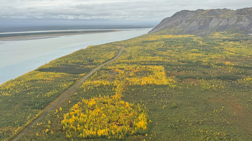
Permafrost in northern regions of Earth is thawing, releasing greenhouse gases, endangering infrastructure, and potentially reshaping landscapes and ecosystems. Mapping this extensive terrain is challenging due to its vastness. A new airborne method, frequency domain airborne electromagnetic (AEM) survey, provides a more spatially cohesive view of permafrost thickness and distribution.
The study, conducted in northern Canada's Mackenzie Valley, sheds light on permafrost location, features influencing it, and its validation through AEM surveys.
The research, led by Moshtaghian et al., also supports the existence of taliks – zones of thawed permafrost often found beneath bodies of water, connected to other taliks, facilitating water flow between them. A significant talik, exceeding 2 kilometers wide and over 75 meters deep, was discovered under the Mackenzie River. Wildfires, even decades old, also impact permafrost, resulting in warmer permafrost near the surface and increased liquid water in burned areas.
The study further contributes valuable methodological insights for future research. Instead of relying on fixed resistivity thresholds to delineate the permafrost base, the authors applied a gradient-based method, accounting for varying electrical resistivity depending on soil type. This innovative approach could aid future studies on permafrost distribution changes and infrastructure planning in and near the Arctic.
Thawing permafrost can compromise roads and structures, emphasizing the importance of understanding its thawing patterns for planning future projects and repairs.
Written by urgent.news from Eos's reporting — not their text. Machine-written — may contain errors; check the original before relying on it.