The promise and peril of using visual AI to study cities
In their new book, “How AI Sees the City,” the leaders of MIT’s Senseable City Lab examine the technology’s implications for researching urban life.
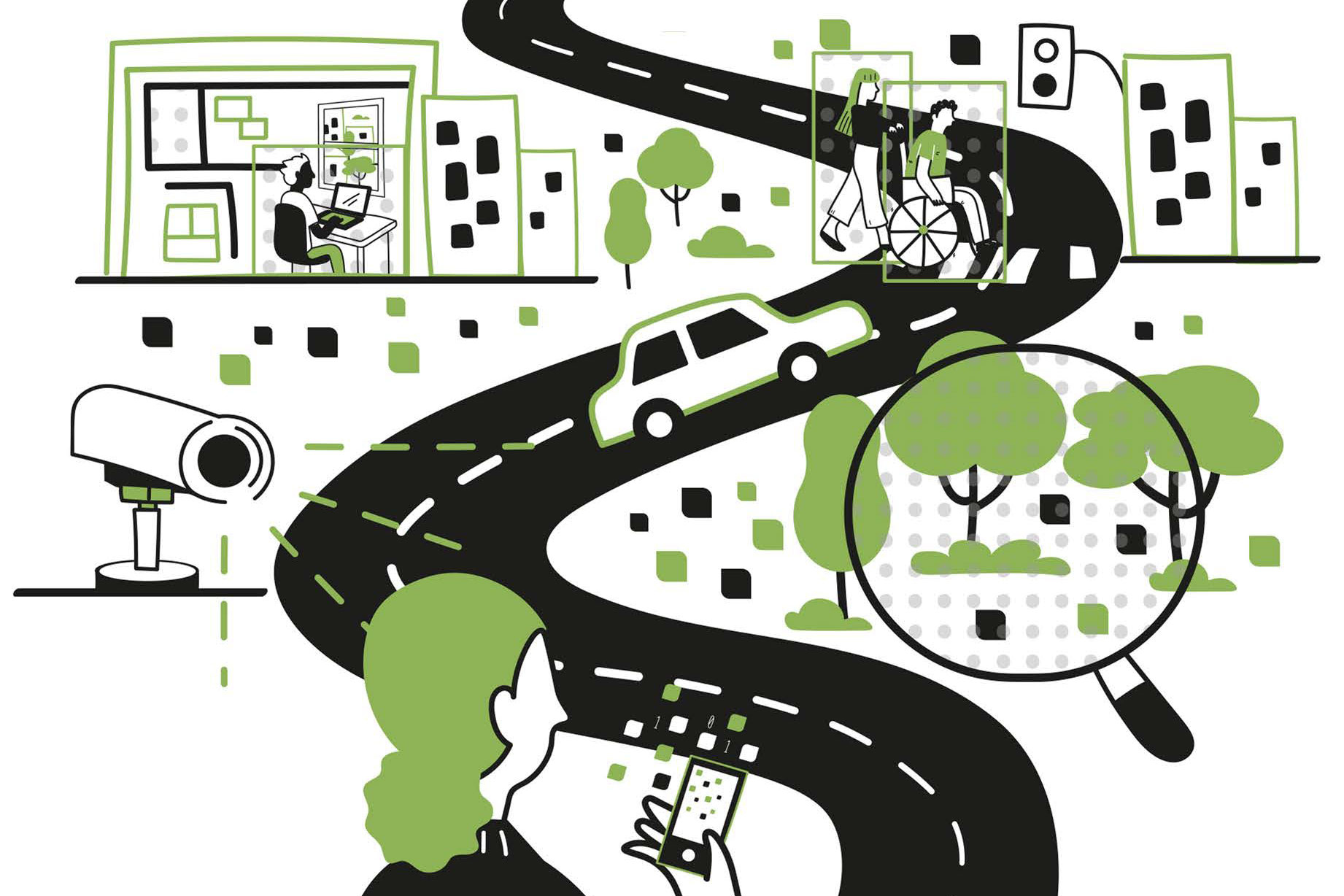
Researchers from MIT's Senseable City Lab recently published a study on pollution in New York City using new visual AI methods. With machine learning, they identified vehicle types in 331 traffic cameras and estimated emissions for each vehicle. This technology could monitor emissions with unprecedented precision and scale if enough cameras were available.
Visual AI can address various urban planning questions, such as traffic congestion, dangerous intersections, and popular plaza areas. However, these digital images used to generate insights also raise privacy and fairness concerns. Visual AI enhances urban studies by treating images as datasets, quantifying city features, and enabling large-scale insights.
Scholars like Kevin Lynch and William H. Whyte proved the value of observing cities, and now visual AI can take this tradition to a new level by observing cities at unprecedented scales and details. The book "How AI Sees the City: Urban Visual Intelligence" by Duarte, Mazzarello, Ratti, and Zhang explores the promise and pitfalls of this technology, including concerns over intrusive surveillance and potential bias.
Written by urgent.news from MIT News AI's reporting — not their text. Machine-written — may contain errors; check the original before relying on it.
This story
This is one outlet's version. Read the fullest account.