Air quality management body to re-test burnt area protocol as satellite, ground data diverge
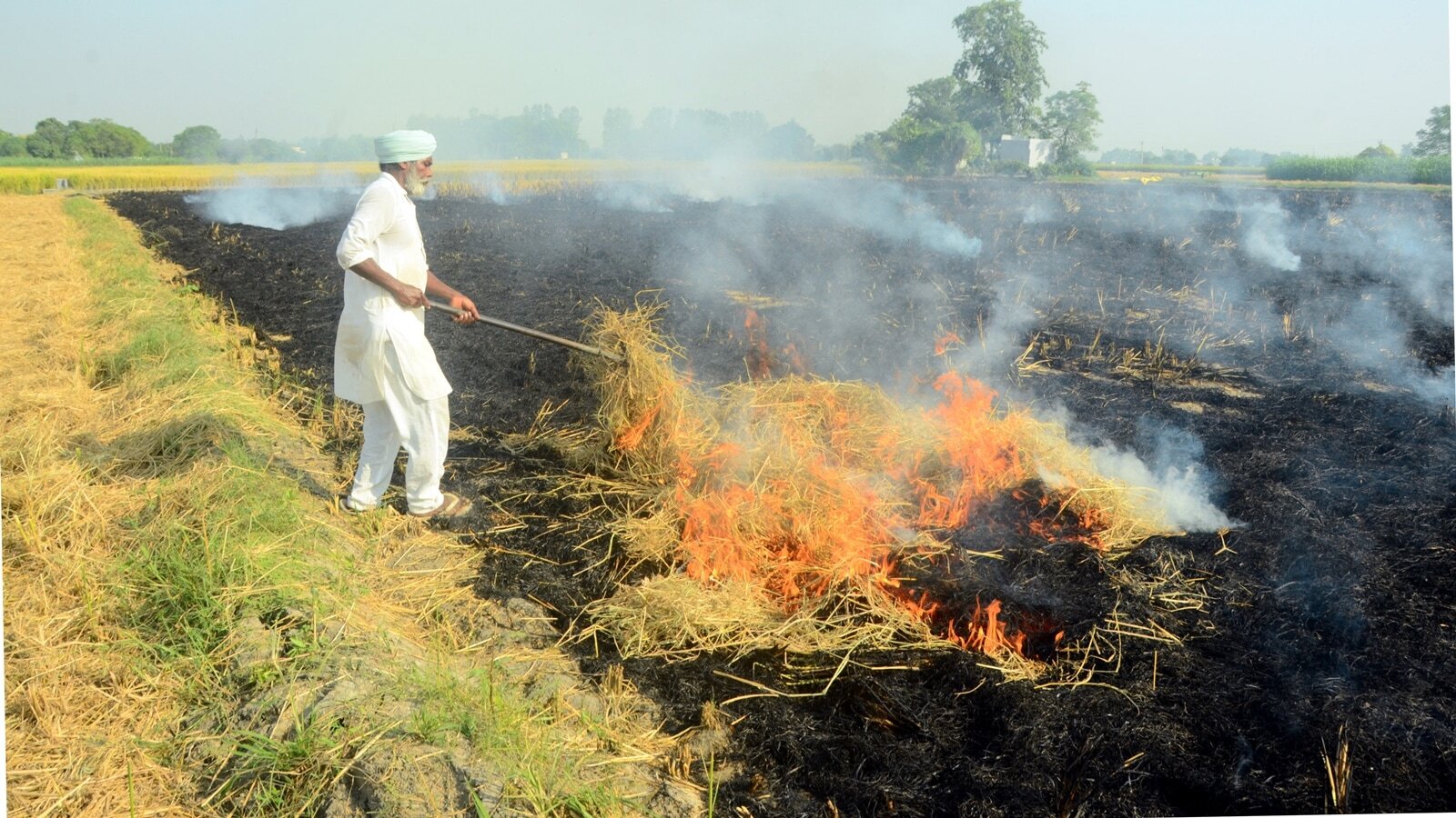
The Commission for Air Quality Management (CAQM) in India is set to retest its 'burnt area' assessment protocol following discrepancies between satellite-derived data and ground verification results in Punjab and Haryana. The protocol, which measures the extent of crop stubble burning, aims to manage air pollution, particularly in the Delhi-NCR region.
CAQM and the National Remote Sensing Centre (NRSC) under Isro plan to conduct the retest during the upcoming Kharif harvest season. Paddy stubble burning, which occurs between September 15 and November 30, contributes up to 35% of pollution on certain days in October or November. The CAQM, collaborating with Agriculture Ministry bodies, monitors active fire counts, but satellite overpass limitations have led to undercounting issues since 2024.
Ground truthing during the 2025 Kharif harvest and 2026 Rabi season revealed this divergence. CAQM officials are working with Isro to enhance ground-truthing protocols. The protocol, developed by NRSC, Isro, and researchers from IARI and Punjab and Haryana's State Remote Sensing Centres, uses the Mid-Infrared Burn Index (MIRBI) method to detect burnt areas with 20m x 20m spatial resolution, enabling precise mapping of crop residue burning across fields.
Written by urgent.news from The Indian Express's reporting — not their text. Machine-written — may contain errors; check the original before relying on it.