UN-backed proposed world map must depict J-K, Ladakh as per India's official map: MEA
India's sovereign territory, including the Union Territories of Jammu and Kashmir and Ladakh, must be depicted in accordance with India's official map; any inaccurate or misleading depiction is unacceptable, said Randhir Jaiswal
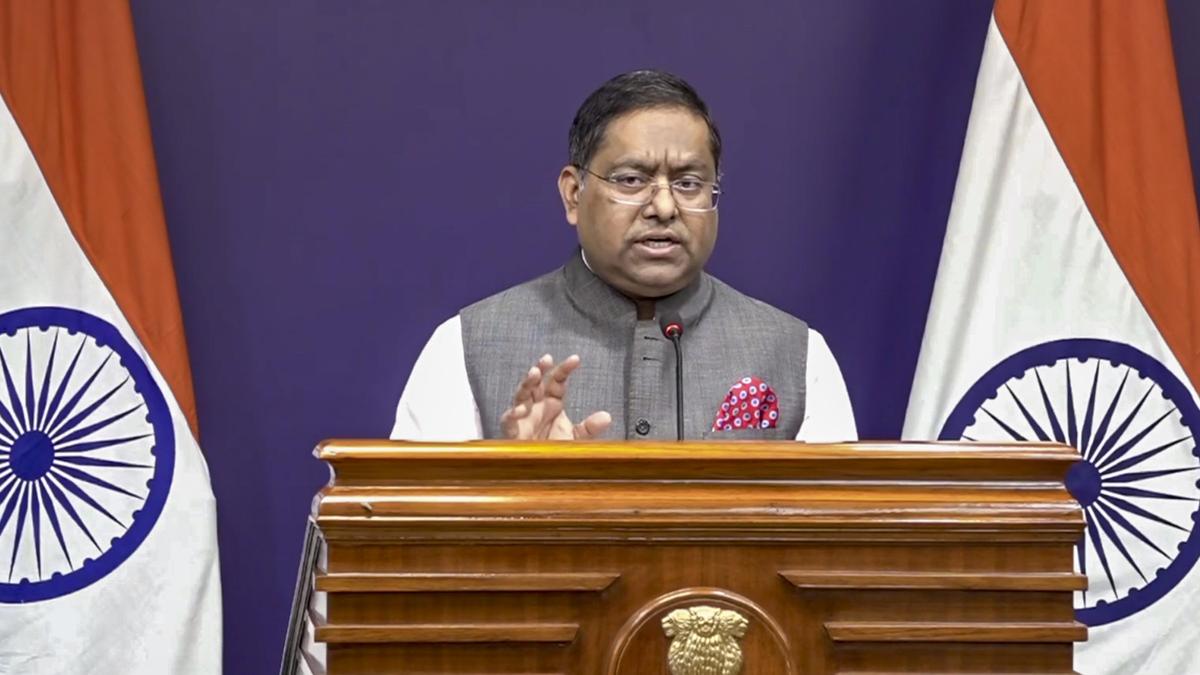
India has reaffirmed its stance that a UN-backed proposed world map must accurately depict the Union Territories of Jammu and Kashmir and Ladakh in accordance with its official map, dismissing any inaccurate or misleading representation as unacceptable. This assertion was made by the External Affairs Ministry spokesperson, Randhir Jaiswal, in response to a media query following India's vote in favor of a UN General Assembly resolution aimed at correcting the world map to promote a more accurate representation of continental landmasses.
The resolution, titled "Correct the Map: Rebalancing Global Cartographic Representation and Promoting Equitable Representation of the World's Regions, Particularly Africa," was adopted on September 4, but it does not endorse any specific map, projection, or depiction of national boundaries, including those of disputed territories.
Brief written by urgent.news from The Hindu's own syndicated text. Machine-written — may contain errors; check the original before relying on it.