Kritik an üblicher Darstellung: UN stimmen auf Antrag Togos für Reform der Weltkarte
Die Afrikanische Union beklagt schon länger, ihr Kontinent werde auf Weltkarten nicht realistisch dargestellt. Nun nimmt die UN-Vollversammlung eine Resolution an, nach der sich das ändern soll.
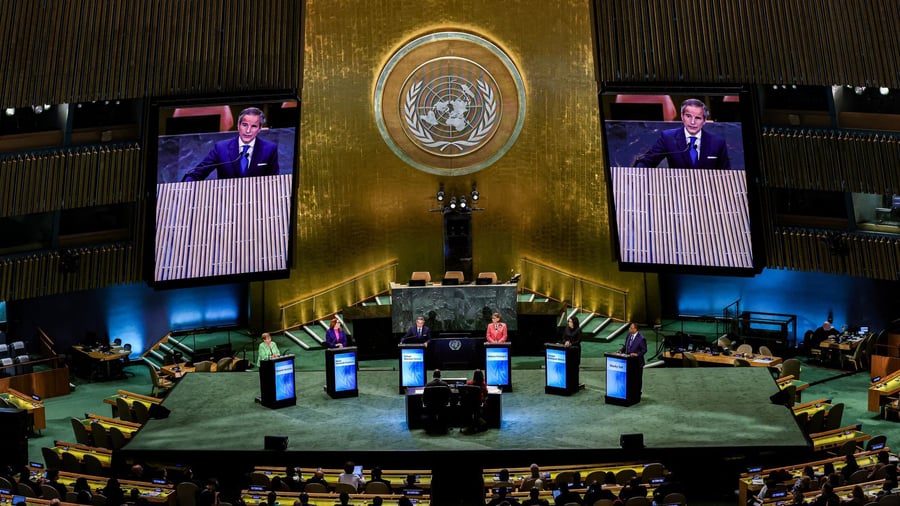
In a surprising turn of events, the General Assembly of the United Nations has approved a motion to replace the conventional world map with a new version that accurately represents the size of Africa. This resolution, titled "Correct the map," was supported by 164 member states, with only 6 countries abstaining while the United States was the sole nation to vote against it. The UN's vote, although non-binding, aims to prompt changes in world maps globally.
The most widely used world map today is based on the Mercator projection, developed in 1569 by cartographer Gerardus Mercator for navigation purposes. However, this projection distorts the size of countries, especially as one moves away from the equator. For instance, Greenland appears nearly as large as Africa on a Mercator map, while in reality, Africa is over 14 times larger than Greenland. When viewed on a globe, the disparity becomes evident - Africa's land area is nearly 14 times that of Greenland.
The Mercator projection's distortion is not just a cartographic issue. It fosters an inaccurate perception of the world's true sizes, particularly affecting Africa and other regions. In response, Togo's Foreign Minister, Robert Dussey, hailed this as a historic moment, stating that the decision transcends pure cartography. "It's about justice, dignity, equality, and how we represent our world," he wrote on platform X. The United States was the only country to oppose the resolution, describing the initiative as part of a radical ideological project.
The UN resolution does not ban the Mercator projection but encourages its replacement by more accurate, equal-area projections like the "Equal Earth" map. The AU had previously criticized the Mercator projection for its unfair representation of Africa, noting that it fosters an erroneous worldview that impacts education, media, and politics. In 2018, cartographers had already developed the Equal Earth map, which more accurately represents the sizes of continents, including Africa.
Written by urgent.news from Handelsblatt's reporting — not their text. Machine-written — may contain errors; check the original before relying on it.