How a super El Niño is fueling extreme weather patterns
The potentially record-breaking El Niño has brought a relentless stretch of extreme weather across the country. Experts watching the climate and weather patterns are warning that the effects could persist well into 2027. William Brangham discussed the super El Niño with WFLA meteorologist Jeff Berardelli.
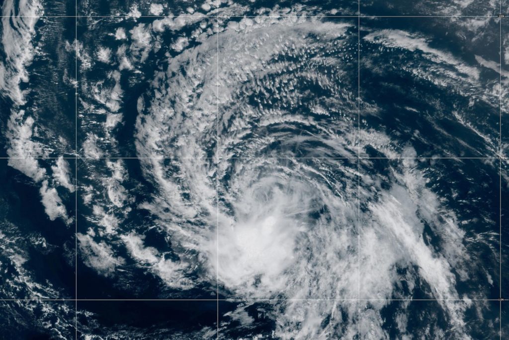
The potentially record-breaking El Niño has unleashed a string of extreme weather events across the nation, with experts warning the impacts may continue into 2027. This summer has seen deadly flash flooding in the Grand Canyon, hurricanes threatening Hawaii, and prolonged heat waves in various parts of the country. Climate and weather experts are closely monitoring these conditions, attributing them to the brewing Super El Niño in the Pacific Ocean.
This Super El Niño is considered the most powerful ever recorded, with ocean temperatures near four degrees Celsius warmer than normal – nearly double the previous record of 2.8 degrees Celsius. The root cause is the massive heat buildup in the ocean due to global warming, which has trapped about 90% of the excess heat in the water, ready to disrupt weather patterns worldwide.
Written by urgent.news from PBS NewsHour's reporting — not their text. Machine-written — may contain errors; check the original before relying on it.
This story
This is one outlet's version. Read the fullest account.