How a super El Niño is fueling extreme weather patterns
The potentially record-breaking El Niño has brought a relentless stretch of extreme weather across the country. Experts watching the climate and weather patterns are warning that the effects could persist well into 2027. William Brangham discussed the super El Niño with WFLA meteorologist Jeff Berardelli.
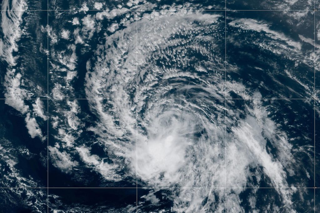
The persistently extreme weather across the United States can be attributed to a potentially record-breaking El Niño, known as a "Super El Niño" due to its immense strength. This phenomenon, originating in the Pacific Ocean, has caused a dramatic warming of ocean waters, altering weather patterns worldwide. Meteorologist Jeff Berardelli explained that El Niño occurs when warm surface waters of the Eastern Tropical Pacific shift weather patterns globally, creating climate chaos.
This particular El Niño is so potent that it is 90% likely to reach an anomaly of four degrees Celsius in the Eastern Pacific, far surpassing the previous record of 2.8 degrees Celsius. Experts warn that the effects of this super El Niño could persist well into 2027, leading to continued extreme weather patterns.
Written by urgent.news from PBS NewsHour Science's reporting — not their text. Machine-written — may contain errors; check the original before relying on it.
This story
This is one outlet's version. Read the fullest account.