China’s radar satellites capture sharp images of glacier collapse site in Nepal
Within hours of a devastating glacier collapse on the China-Nepal border, a Beijing-based satellite company had already redirected six of its satellites to survey the disaster zone. The high-resolution radar images they captured revealed a massive collapse site near a remote mountain pass. Unlike optical sensors, radar signals can pierce through haze and cloud, mapping terrain changes with high…
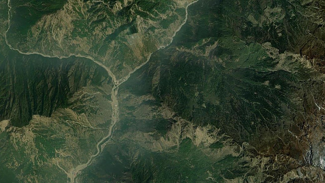
On Wednesday, a massive glacier collapse near the China-Nepal border occurred, triggering a deadly avalanche that unleashed devastating flash floods. Within hours of the disaster, a Beijing-based satellite company, Beijing Minospace Technology, deployed six of its high-resolution radar satellites to survey the affected area. Unlike traditional optical sensors, radar signals can penetrate haze and clouds, providing precise mapping of terrain changes even in rugged mountainous regions.
The satellite images captured by the Dongpo-11, Dongpo-15 to 19, revealed a massive collapse site near a remote mountain pass. These satellites, built in partnership with state-owned commercial aerospace firm Huantian Intelligence, offer 0.5-metre high-resolution optical imagery and metre-class synthetic aperture radar (SAR) capabilities. This combination allowed the constellation to see through persistent cloud cover and challenging topography, delivering accurate data on terrain shifts at the collapse site.
The disaster resulted in over 400 deaths and more than a thousand people missing across China and Nepal, with severe damage to the Gyirong Port border checkpoint in Shigatse, China's western Tibet region. Beijing Minospace Technology's rapid deployment of its satellite constellation underscores the growing trend of private enterprises in China expanding beyond military and government space surveillance to provide flexible and transparent monitoring capabilities.
The satellite imagery, which was submitted on Thursday, is being analyzed by experts at the National Earth Observation Science Data Centre.
Written by urgent.news from South China Morning Post's reporting — not their text. Machine-written — may contain errors; check the original before relying on it.
This story
This is one outlet's version. Read the fullest account.