Indonesia Earthquake Triggers Tsunami Warning
A magnitude 7.7 earthquake struck off the eastern coast of Indonesia in the early hours of August 15, damaging buildings in the area and prompting Indonesian officials to issue a tsunami warning for coastal residents. The US Geological Survey (USGS) reported the quake hit the Flores Islands region at around 5.58am local time (4.58am Thai … The story Indonesia Earthquake Triggers Tsunami Warning…
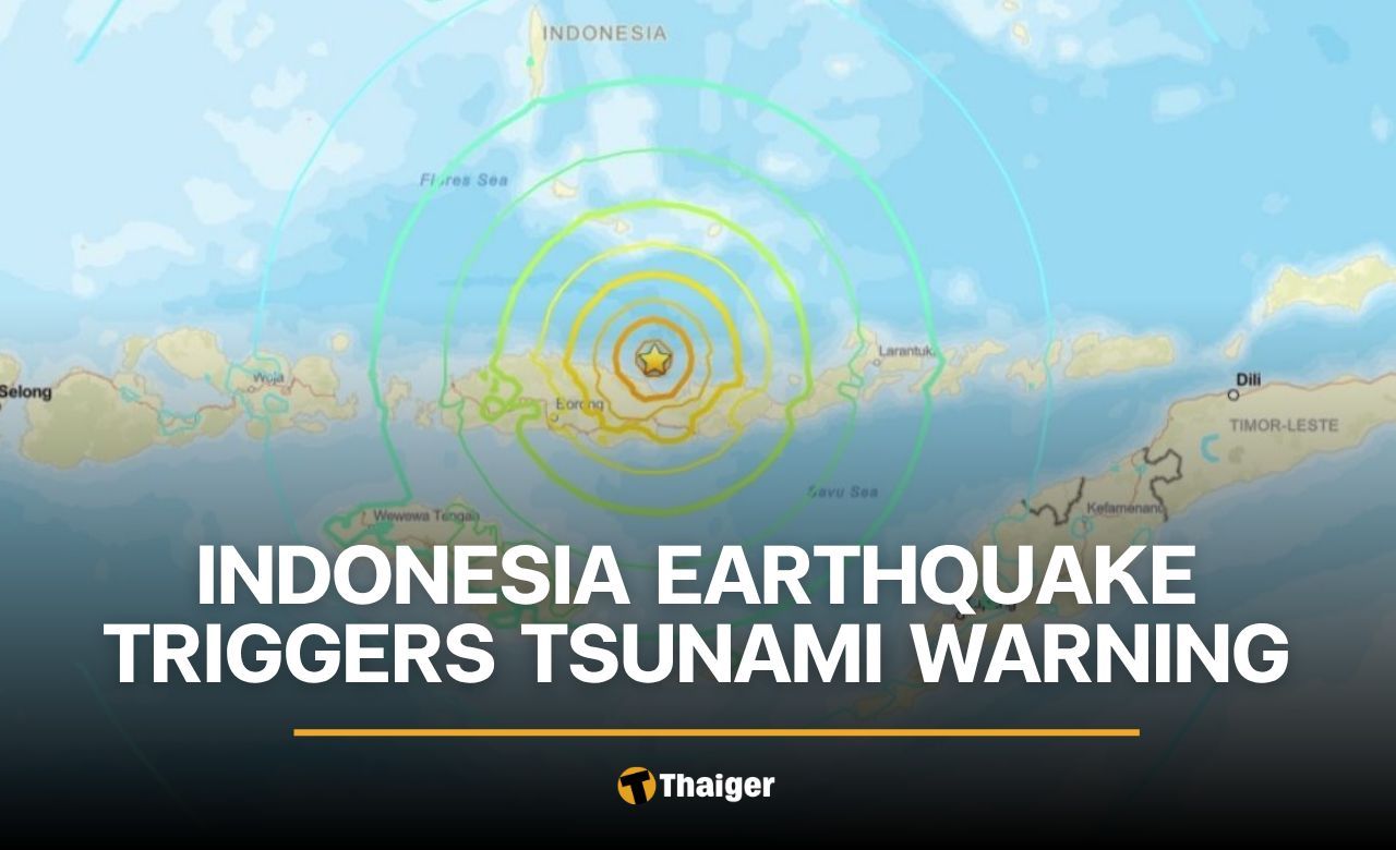
A magnitude 7.7 earthquake shook the eastern coast of Indonesia early on August 15, damaging structures in the region and triggering a tsunami warning for nearby residents. According to the US Geological Survey, the quake struck near the Flores Islands at 5:58am local time, with its epicenter about 68 kilometers northwest of Ende in East Nusa Tenggara province.
The undersea tremor originated at a depth of approximately 10 kilometers and caused damage to buildings and structures. Following the initial quake, two aftershocks were detected. Indonesian authorities issued a tsunami warning, advising coastal residents to avoid beaches and riverbanks and to seek higher ground. Seismic monitoring agencies are closely observing sea levels for any post-earthquake changes.
The Joint Australian Tsunami Warning Centre confirmed the quake did not pose a tsunami threat to Australia. Indonesia, comprising over 17,000 islands, lies on the Pacific "Ring of Fire" and frequently experiences seismic and volcanic activity.
Written by urgent.news from The Thaiger's reporting — not their text. Machine-written — may contain errors; check the original before relying on it.