Why India’s new Himalayan border map threatens a fragile thaw in China ties
New Delhi has issued names for 27 locations in Arunachal Pradesh on its official maps, including sensitive sites near the disputed border with China, in a move that an analyst warned could complicate efforts to repair bilateral ties. The Indian government announced the move on Friday, just a day after officials from the two countries held a working-level consultation in New Delhi to discuss…
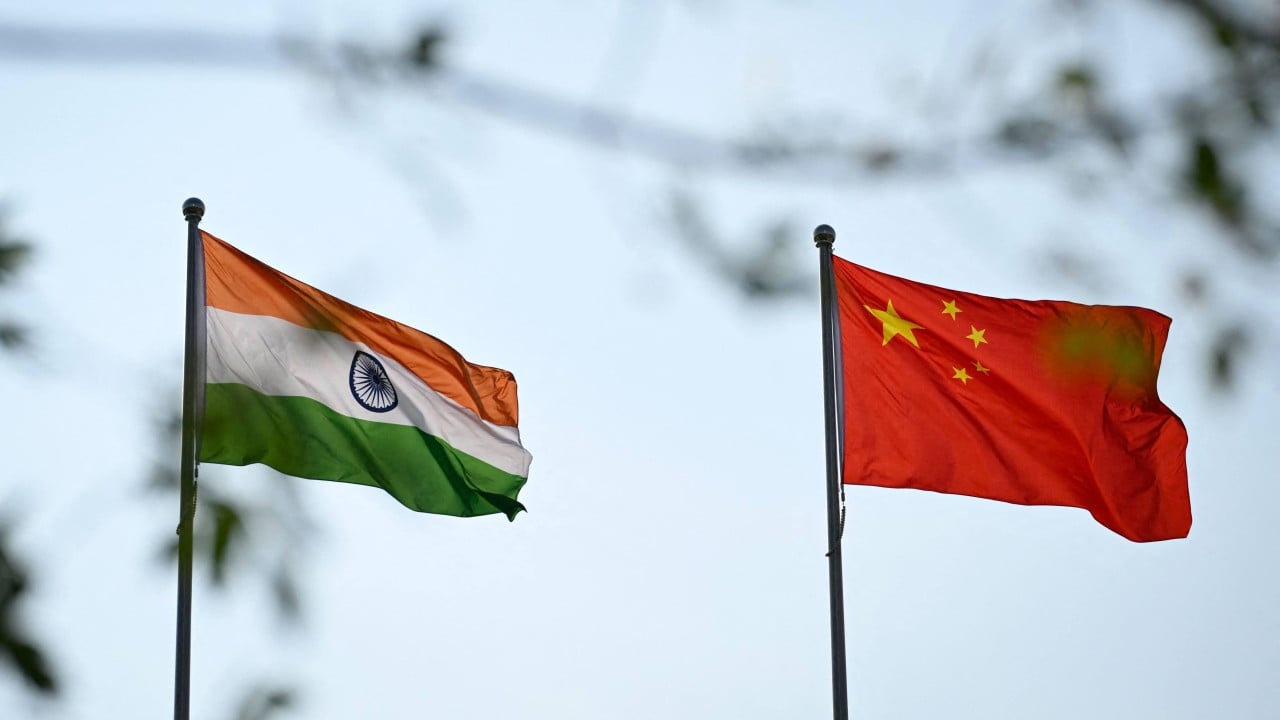
India recently named 27 locations in Arunachal Pradesh, including sensitive areas near the disputed border with China, which has raised concerns about the potential impact on bilateral relations. The move came just a day after officials from both nations met to discuss border management. Beijing refers to the northeastern border state as Zangnan, or southern Tibet.
Indian officials said the Survey of India issued the names to ensure accurate recognition and public awareness of the geographical and historical significance of the locations. Some of the named areas include Longju, a village site of a 1959 border clash, and the Thag La pass where the 1962 border war began. China rejected the names, stating they were illegitimate and insisting Arunachal Pradesh is part of China.
The foreign ministry spokesman emphasized the move is null and void. India has previously rejected China's renaming efforts, describing them as "vain and preposterous". Analysts suggest the naming exercise is intended to reinforce territorial claims and bolster domestic pride.
Written by urgent.news from Reuters Business via SCMP's reporting — not their text. Machine-written — may contain errors; check the original before relying on it.
This story
This is one outlet's version. Read the fullest account.