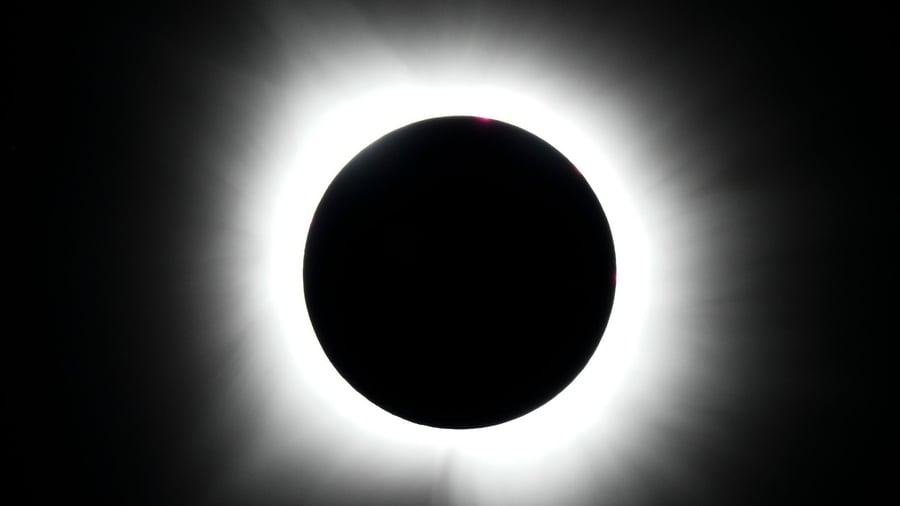
¿Dónde habrá nubes durante el eclipse? Consulte cómo estarán los cielos y el horizonte en cada municipio
Mostramos y actualizamos en un mapa varias previsiones de nubosidad para el miércoles 12 de agosto: dónde habrá nubes, de qué tipo y en qué dirección mirar
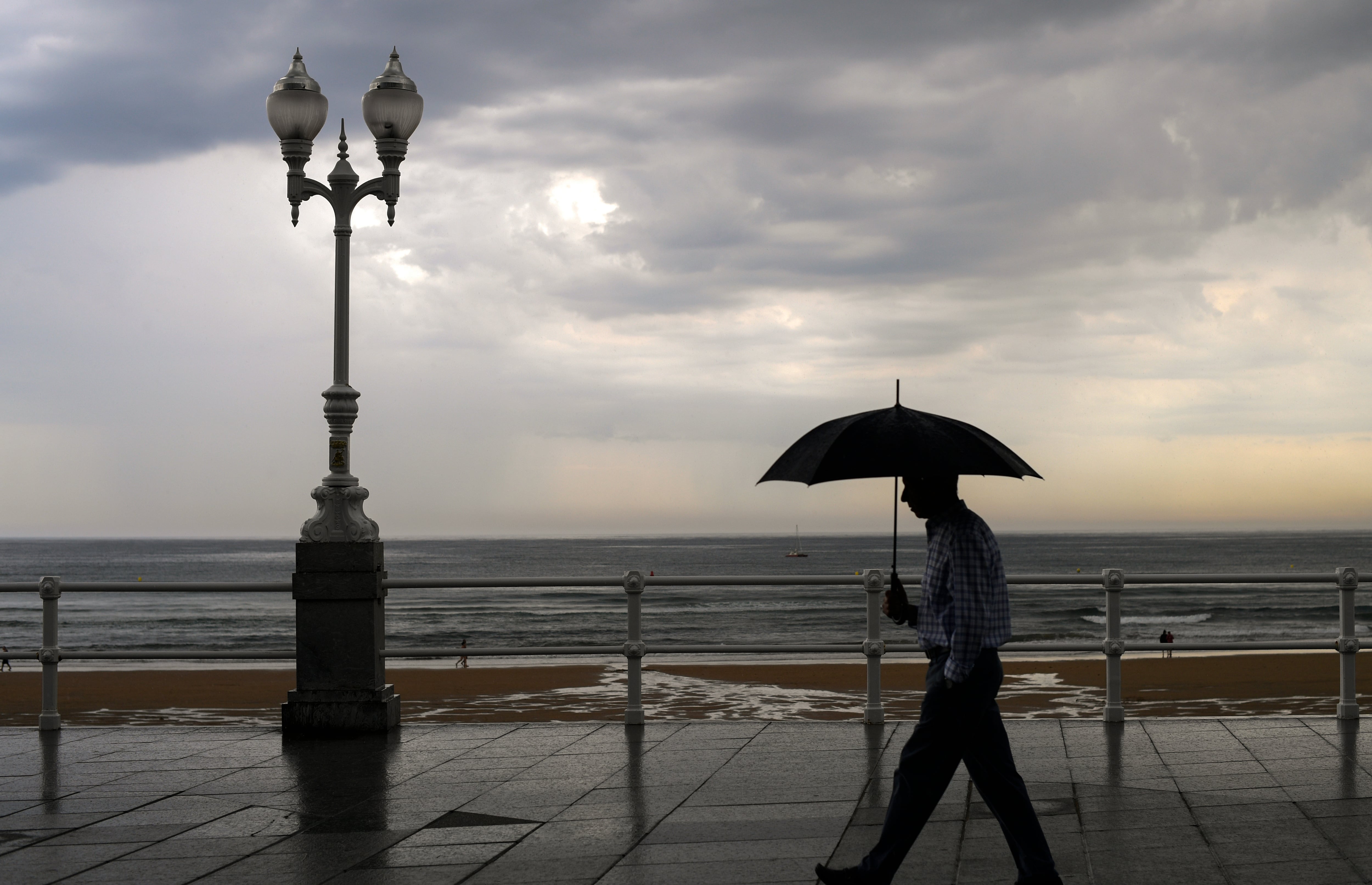
The upcoming August 12th solar eclipse may be obscured by low clouds, as shown in a new map detailing cloud cover and cloud height at the time of the event. The map, based on the latest European Centre for Medium-Range Weather Forecasts (ECMWF) model available as of August 9th, predicts cloudiness at 8 PM on Wednesday for each Spanish municipality. From Tuesday onward, hourly forecasts from AEMET will be accessible.
The map's visibility layer displays total cloud cover predicted by the ECMWF model, with an approximate resolution of 5 kilometers. On Tuesday, the map will also incorporate the higher-resolution AEMET AHIROME-AROME model, allowing for more precise hourly cloud predictions with a local grid of about 2.5 kilometers.
For each location, the map provides two types of information: total cloud cover and the average vertical structure of clouds in the municipality, based on the ECMWF's artificial intelligence model AIFS, with a resolution of roughly 25 kilometers (identifying low, medium, and high clouds). The classification of conditions—favorable, regular, or unfavorable—takes into account both total cloud cover and the proportion of low, medium, and high clouds predicted for the municipality.
Low clouds are given more weight in the calculation, followed by medium clouds, with high clouds receiving the least weight. Note that the three cloud layers (low, medium, and high) may coexist at different heights within a municipality, and are represented as a vertical structure description rather than exclusive parts summing to 100%.
An additional "Horizon View" feature offers a supplementary estimate of the Sun's direction and height during the maximum local eclipse time. It selects three low cloud AIFS samples along the line of sight within 1 to 2 kilometers of the observer, highlighting the most cloud-heavy scenario. This provides guidance on potential clouds between the observer and the Sun, rather than a detailed prediction of terrain or exact visibility.
Written by urgent.news from El Pais's reporting — not their text. Machine-written — may contain errors; check the original before relying on it.