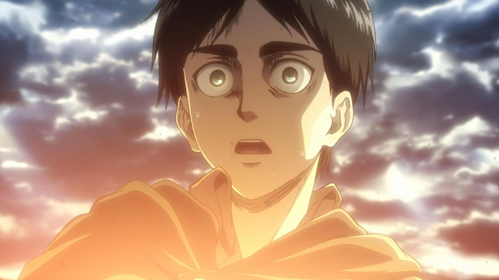
26 Years Later, Attack on Titan's Best Quote Is Still One of the Coldest Quotes in Anime History
Eren Yeager's most impactful line serves as a tortured forewarning of the monster the character would inevitably become.
We haven't written up this one. Polygon has the full story — the link below goes straight to it.