Mapa | 8,5 millones de personas en España viven expuestas estructuralmente a los incendios
Un análisis de EL PAÍS permite identificar dónde reside más población a menos de 400 metros de grandes masas de vegetación combustible. Intervenir en esa frontera urbano-forestal es clave para responder ante el fuego
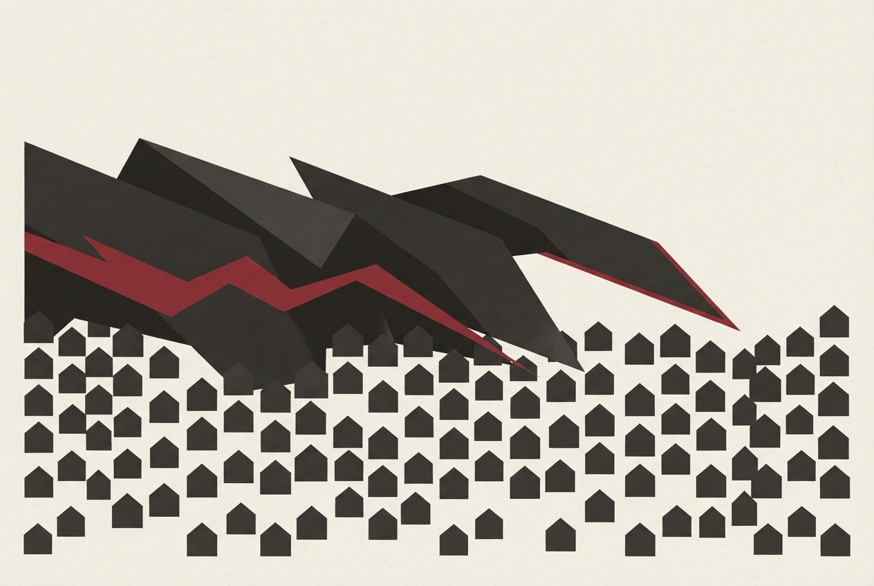
In Spain, a staggering 8.5 million people, comprising 18% of the nation's population, find themselves exposed to structural risks from forest fires, according to a recent analysis by EL PAÍS. These individuals reside within a mere 400 meters of a forested area, which serves as fuel for wildfires, or are in direct contact with such regions. This issue has manifested itself painfully in numerous instances, such as the evacuations in Ávila and Madrid, as well as the tragic events at Los Gallardos in Almería in July.
To quantify the extent of population exposure to fire hazards, EL PAÍS cross-referenced population density grids, generated by Goerlich and Mollá for the BBVA Foundation and IVIE based on the 2021 census, with Spain's latest forest map. The grids allow for the estimation of residents in one-hectare cells and their proximity to flammable grasses, shrubs, and woods capable of sustaining a forest fire.
Each cell's status as either in combustible vegetation or within 400 meters of a continuous flammable mass greater than 500 hectares was calculated. Alternative scenarios of 100 and 2,400 meters were also considered to gauge the sensitivity of the results.
The primary scenario examines the population situated within combustible vegetation or within 400 meters of a contiguous flammable patch of at least 500 hectares. Subsequent calculations excluded cells located within the boundaries of fires recorded by EFFIS/Copernicus between 2022 and 2026, as these areas have experienced recent fires that could have significantly altered the available vegetation.
The figure represents physical exposure to fire risks, not the probability of fire occurrence or individual risk, and does not factor in daily weather conditions, wind, slope, housing conditions, or local prevention measures. Spatial calculations and aggregations were carried out using R software from publicly available sources.
Written by urgent.news from El Pais's reporting — not their text. Machine-written — may contain errors; check the original before relying on it.