Map | 8.5 million people in Spain live structurally exposed to fires
An analysis by EL PAÍS identifies where more people live less than 400 meters from large masses of combustible vegetation. Intervening in this urban-forest frontier is key to responding to fire.
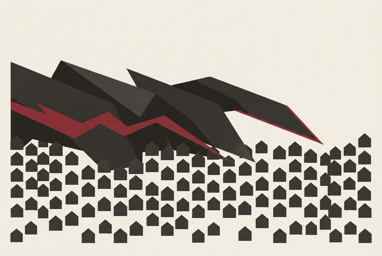
Thousands of people evacuated, like in the Ávila and Madrid fires, or trapped by flames, like in Los Gallardos (Almería) in July, are the extreme expression of a pattern that repeats across Spain: population settled on the border between urban fabric and large masses of vegetation that serve as fuel for fire. At least 8,567,434 inhabitants, 18% of the total population, live less than 400 meters from one of these forest areas or in direct contact with them, according to an analysis by EL PAÍS.
That is the distance that regional regulations consider the area of influence of a fire: the strip where the fire can spread to homes and where prevention measures must be applied.
To estimate how many people live in areas exposed to forest fire danger, EL PAÍS has crossed the 100-meter population grid prepared by Goerlich and Mollá for the BBVA Foundation and Ivie, based on the 2021 census, with the most up-to-date Forest Map of Spain available. The grid allows estimating the resident population in one-hectare cells and comparing it with the location of pastures, scrubland, and forest capable of fueling a forest fire.
For each inhabited cell, it was calculated whether it was within a combustible vegetation zone or at what distances it was from a large continuous forest mass.
The main scenario considers the population situated within combustible vegetation or 400 meters or less from a combustible patch of at least 500 hectares exposed. Alternative scenarios of 100 and 2,400 meters were also calculated to check the sensitivity of the result. To better approximate the current state of the fuel, cells located within perimeters of fires recorded by EFFIS/Copernicus between 2022 and 2026 were discounted.
This period was chosen because it collects recent fires with the most capacity to alter available vegetation, without excluding areas burned longer ago where fuel may have partially recovered.
The result measures physical exposure, not probability of fire or individual risk. It does not incorporate daily meteorology, wind, slope, state of homes, or local prevention measures. Spatial calculations and aggregations were performed with R software from public sources.
Translated by urgent.news. Machine-written — may contain errors; check the original before relying on it.