How Water Flows Toward Cities During Hurricanes
Topography is a key factor exacerbating compound flooding, while coastal wetlands help protect cities.
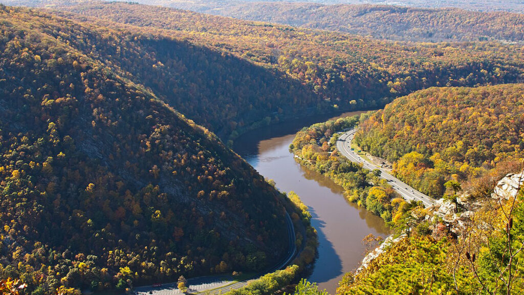
Coastal cities face heightened risk of compound flooding events during hurricanes, caused by simultaneous heavy rainfall and storm surges. Researchers at Geophysical Research Letters explored the factors contributing to urban flooding by using the Energy Exascale Earth System Model (E3SM) with the River Dynamical Core (RDycore) to simulate extreme flooding events. Their study focused on Hurricane Irene's impact on the Delaware River basin in 2011.
The research revealed that rural runoff significantly contributes to urban flooding, underscoring the importance of understanding the interaction between different flooding drivers. The E3SM configuration enabled the simulation of flood dynamics at a building scale, revealing that topography plays the most crucial role in severe flooding, particularly in rural areas. Elevation changes between rural and urban regions, as well as the connectivity of drainage systems, significantly influence urban flooding severity.
As sea levels rise, storm surges are expected to worsen, intensifying compound flooding. The model demonstrated how storm surges propagate inland, with most expanded flooding occurring in coastal wetlands. These ecosystems act as natural barriers, absorbing much of the surge and protecting nearby urban areas from the full impact of the storm surge. This finding emphasizes the vital role coastal wetlands play in safeguarding urban communities during hurricanes.
Written by urgent.news from Eos's reporting — not their text. Machine-written — may contain errors; check the original before relying on it.