Bringing Python Solutions to Earth Science Challenges
Python enables geoscientists to analyze and display datasets, with applications including natural hazard and climate monitoring. AGU is back with the 2 nd edition of a popular Python programming workbook.
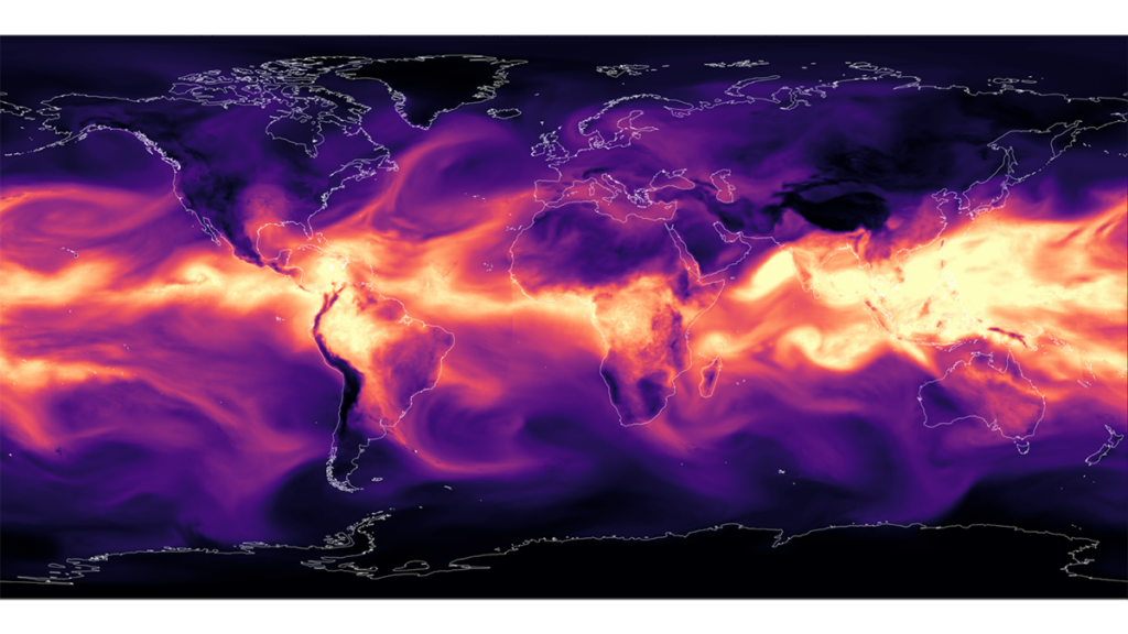
Editors' Vox, a blog from AGU's Publications Department, has witnessed the growth of Python training workshops at geoscience conferences since their inception in 2018. The workshops have led to the publication of a best-selling book, now in its second edition, which focuses on using Python programming skills to analyze Earth observation datasets.
Author Rebekah Esmaili highlights the benefits of learning Python for geoscientists and the practical applications of these skills. Earth observation data, collected through various sensors such as satellites, aircraft, drones, and ground instruments, provide valuable insights for addressing environmental challenges. Python's ability to process and analyze large volumes of satellite data in different formats makes it an invaluable tool for geoscientists.
The second edition of Esmaili's book updates the first edition with new content on cloud computing and machine learning, as well as expanded examples using real-world natural hazard case studies, such as Hurricane Melissa (2025). By learning Python through this book, researchers can enhance their productivity, utilize openly available remote sensing data, and share their work more effectively.
Written by urgent.news from Eos's reporting — not their text. Machine-written — may contain errors; check the original before relying on it.