How Fine Can Global Storm Models Get?
A new study zooms in, literally, on how global models can capture precipitation and cloud cover in even more detail.
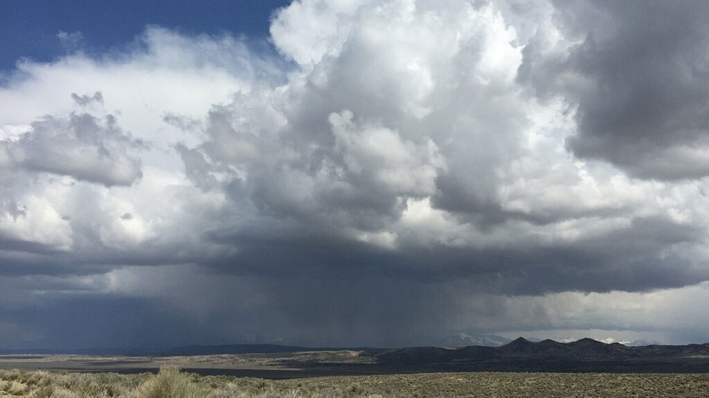
Global storm-resolving models (GSRMs) enable scientists to simulate the formation of clouds, heavy rain, and thunderstorms by tracking how moist air rises and develops. While these models have proven valuable for predicting weather, their limited resolution of just a few kilometers poses challenges. At lower resolutions, GSRMs can overestimate precipitation intensity, resulting in "popcorn-like" patterns that fail to accurately depict the true nature of rainfall.
Increasing resolution could alleviate some of these issues by allowing researchers to more accurately model the internal structures and processes that trigger rainfall within thunderstorms. Previous studies had suggested that resolutions around 200 meters were necessary to capture the inner workings of deep convection. However, finer resolutions also introduce new challenges, as accurately representing atmospheric turbulence becomes increasingly complex.
In a groundbreaking large-eddy simulation, Matsugishi et al. conducted the first global simulation at a resolution of 220 meters using the Nonhydrostatic Icosahedral Atmospheric Model (NICAM) on the powerful Fugaku supercomputer. The researchers examined the simulation outputs from an 8-hour period on August 5, 2016, and tested two different turbulence schemes across a range of resolutions, from 3.5 kilometers to 220 meters.
As the resolution improved, the "popcorn-like" precipitation patterns observed at lower resolutions decreased significantly, with rainfall becoming more evenly distributed into smaller, more organized cells. However, the study found that increasing resolution also led to a decrease in cloud cover, regardless of the turbulence scheme employed. This indicates that while higher resolution can help reduce unrealistic precipitation patterns in GSRMs, it does not necessarily result in realistic cloud distribution.
The researchers suggest that achieving ten-meter global large-eddy simulations could further reduce uncertainties, but current supercomputers are limited to grid spacings of around 220 meters. Nevertheless, the findings from this study are promising for improving the accuracy of precipitation simulations. Nonetheless, the authors emphasize that further work is needed to enhance the representation of clouds, particularly in the gray zone where boundary layer processes play a crucial role.
Written by urgent.news from Eos's reporting — not their text. Machine-written — may contain errors; check the original before relying on it.