ISRO NVS-03 launch: 5 things to know about India’s new navigation satellite
ISRO successfully launched the NVS-03 navigation satellite from the Satish Dhawan Space Centre in Sriharikota on October 30, 2026, restoring NavIC to a four-satellite, standalone operational status and advancing India’s push for an indigenous, more precise space-time network
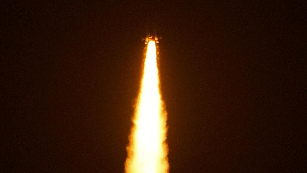
India's independent regional navigation satellite system, NavIC, was successfully launched with its new navigation satellite, NVS-03, on October 30, 2026. The mission, carried out by the Indian Space Research Organisation (ISRO), places the satellite into orbit using the GSLV-F18 rocket. Five essential points about the launch are discussed below.
1. Restoring NavIC's functionality: The primary reason for the NVS-03 launch is to restore India's regional satellite navigation system, NavIC, following the 1999 Kargil War. At that time, the United States reportedly restricted access to GPS data, leading to the development of NavIC. The launch of NVS-03 aims to ensure continuity of navigation services under the Indian Regional Navigation Satellite System (IRNSS).
2. Successful satellite separation and orbit: The NVS-03 satellite successfully separated from the launch vehicle and was injected into its intended Geosynchronous Transfer Orbit (GTO). This marks the third satellite in ISRO's next-generation navigation satellite series, designed to maintain and improve navigation services under NavIC.
3. Importance of the indigenously developed atomic clock: The NVS-03 satellite carries a Rubidium atomic clock, which is crucial for satellite navigation. Older IRNSS satellites relied on imported Swiss clocks, which frequently failed. The independence and precision provided by the indigenously developed clock will enhance the overall performance of the NavIC system.
4. Expansion of coverage: NVS-03 broadcasts signals on the L1 frequency band, in addition to the existing L5 and S bands. This expanded frequency coverage will facilitate easier access to Indian Standard Time and NavIC positioning signals by civilian mobile chipsets, making the system more readily available for common smartphones.
5. Applications of NavIC: NavIC provides two primary services - an open signal for general public use and an encrypted restricted service for military applications. The encrypted service offers high-precision data for guiding missiles, tracking troop movements, and operating defense platforms safely. Additionally, NavIC tracks civilian assets such as 10,400 locomotives and 64,000 fishing vessels, with plans to expand this serviceto 1 lakh fishing vessels in the next six months.
Written by urgent.news from The Hindu - Sci-Tech's reporting — not their text. Machine-written — may contain errors; check the original before relying on it.
This story
This is one outlet's version. Read the fullest account.