New Valencia flood maps reveal 61% more land at risk: Is your home affected?
Thousands of people living in flood-prone areas of Valencia could face changes to future building rules after a major review […]
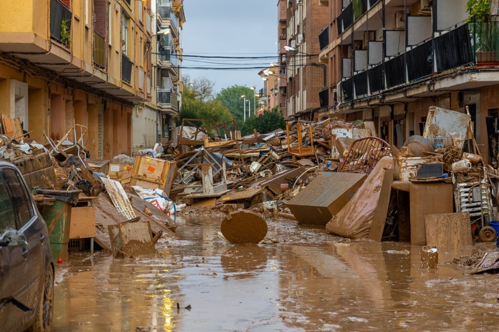
New flood maps for Valencia reveal a 61% increase in land at risk of flooding, prompting questions about the impact on homeowners and future building regulations. The review, conducted as part of the PATRICOVA project, updates flood-risk maps for four areas hit hard by the October 2024 DANA floods. Upper Magro, Lower Magro, l’Horta Sud, and the lower Turia districts have seen the most significant changes, with a 125.7% increase in the flood-prone area in the Horta Sud district.
The updated maps show seven levels of flood risk, focusing on rare but potentially devastating events with return periods up to 2,000 years. The primary focus of the review is on guiding future construction in flood-prone areas, including proposals to ban underground car parks and impose stricter building restrictions in the most exposed locations.
While existing homeowners are not immediately affected, the new maps will play a crucial role in planning future renovations, expansions, or development. Prospective buyers should also consider the new flood risk zones when purchasing property. The revised maps will be published in the Official Gazette of the Valencian Community on October 16, with a 20-day public consultation period following.
Residents are advised to consult the official Valencian government’s mapping portal and contact their local council with any questions about planning restrictions on their land.
Written by urgent.news from Euro Weekly News's reporting — not their text. Machine-written — may contain errors; check the original before relying on it.