NASA Satellites Observe Historic 2026 El Niño
A phenomenon rarer than a solar eclipse and more powerful than any single storm system is unfolding this fall, and NASA is tracking it closely. El Niño is a natural climate pattern that emerges roughly every two to seven years marked by warmer-than-normal water temperatures in parts of the equatorial Pacific. NASA scientists are keeping […] The post NASA Satellites Observe Historic 2026 El Niño…
This year, a rare and powerful natural climate pattern known as El Niño is unfolding, and NASA is closely monitoring its progress. The phenomenon, which occurs every two to seven years, involves warmer-than-normal water temperatures in the equatorial Pacific. As of October, the National Oceanic and Atmospheric Administration (NOAA) has determined that an 83% chance exists that the strongest El Niño since 1950 is now taking place.
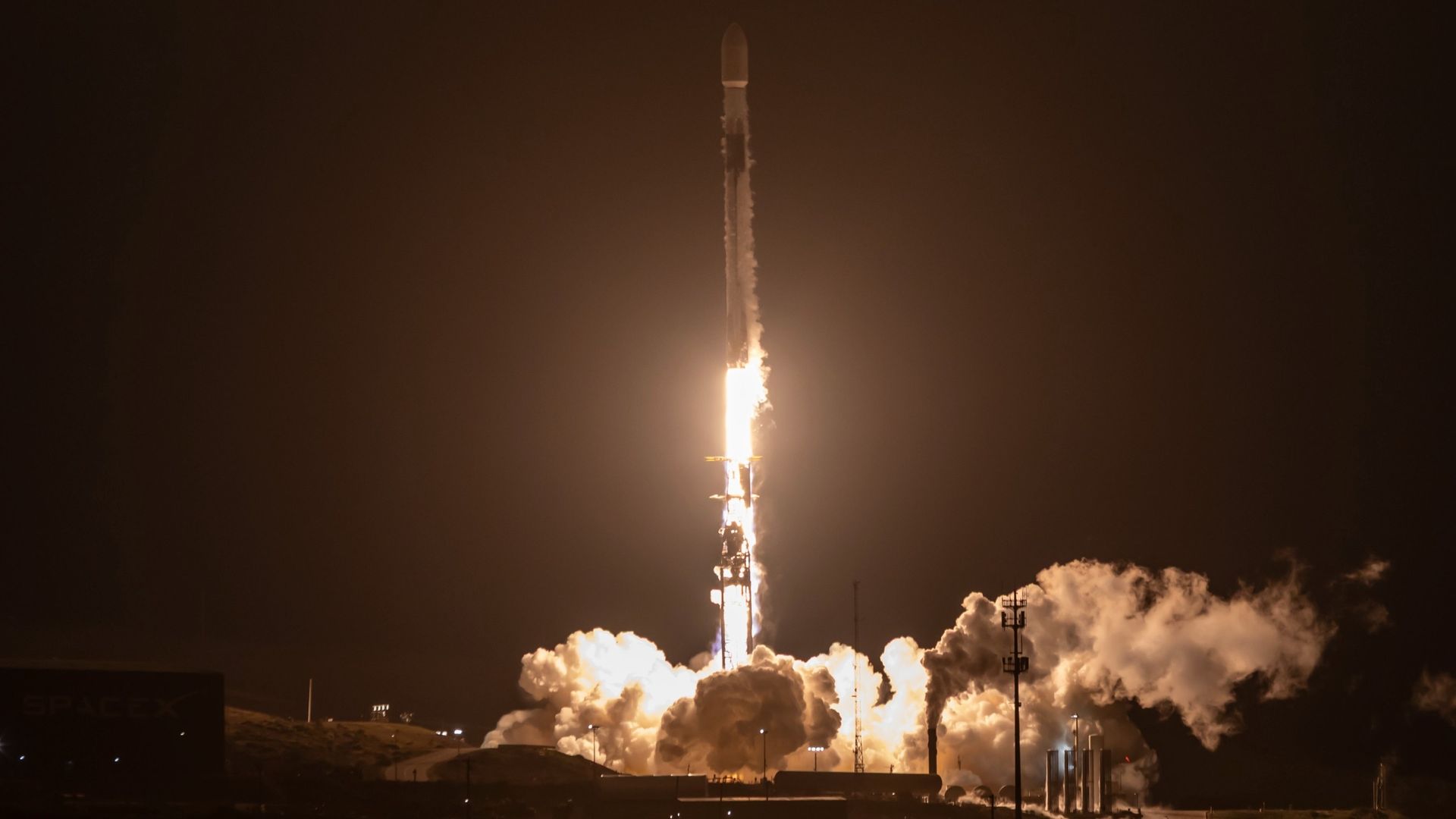
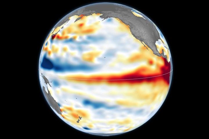
El Niño has far-reaching impacts, affecting farmers, firefighters, and coastal communities worldwide. Sea surface height anomalies are visualized in this article, with lower-than-normal levels shown in blue and higher areas in orange and red. The data were obtained using altimetry measurements from the Sentinel-6 satellites, which measure water height across the entire ocean every 10 days.
One of the earliest indicators of the 2026 El Niño was the appearance of a warm water swell, or Kelvin wave, near Micronesia in the western Pacific in January 2026. These slow-moving pulses of water transfer heat from west to east across the Pacific, warming the air above and causing sea levels in the eastern Pacific to rise further. This chain reaction signifies the beginning of an El Niño.
By early April, the warm water from the Kelvin waves had reached the eastern Pacific, and sea surface temperatures began to rise. The warmer-than-normal water can be as much as 1 to 1.3 feet (30 to 40 centimeters) higher than normal, sloshing toward South America and California. Sea levels around Indonesia and northern Australia are six to eight inches (15 to 20 centimeters) lower than normal.
Warm ocean temperatures are one of the key indicators of El Niño. In the eastern Pacific, sea surface temperatures are currently about 3 degrees Fahrenheit (1.7 degrees Celsius) warmer than the long-term average and may increase slightly in the coming months. Satellites equipped with microwave and infrared radiometers can measure heat energy at the sea surface, even through clouds.
Written by urgent.news from NASA Science's reporting — not their text. Machine-written — may contain errors; check the original before relying on it.
Also reported by 1 other outlet
- NASA Satellites Observe Historic 2026 El Niño science.nasa.gov