Chinese scientists use open-source data to spot suspected Israeli electronic warfare units
Chinese military scientists claim they have developed an algorithm that could help identify electronic warfare units using civil aviation flight data. The researchers said they had located two sources of interference that were spoofing their locations near Israel during the conflict with Iran. The team did not explain why they had focused on the Israeli military. The researchers estimated the…
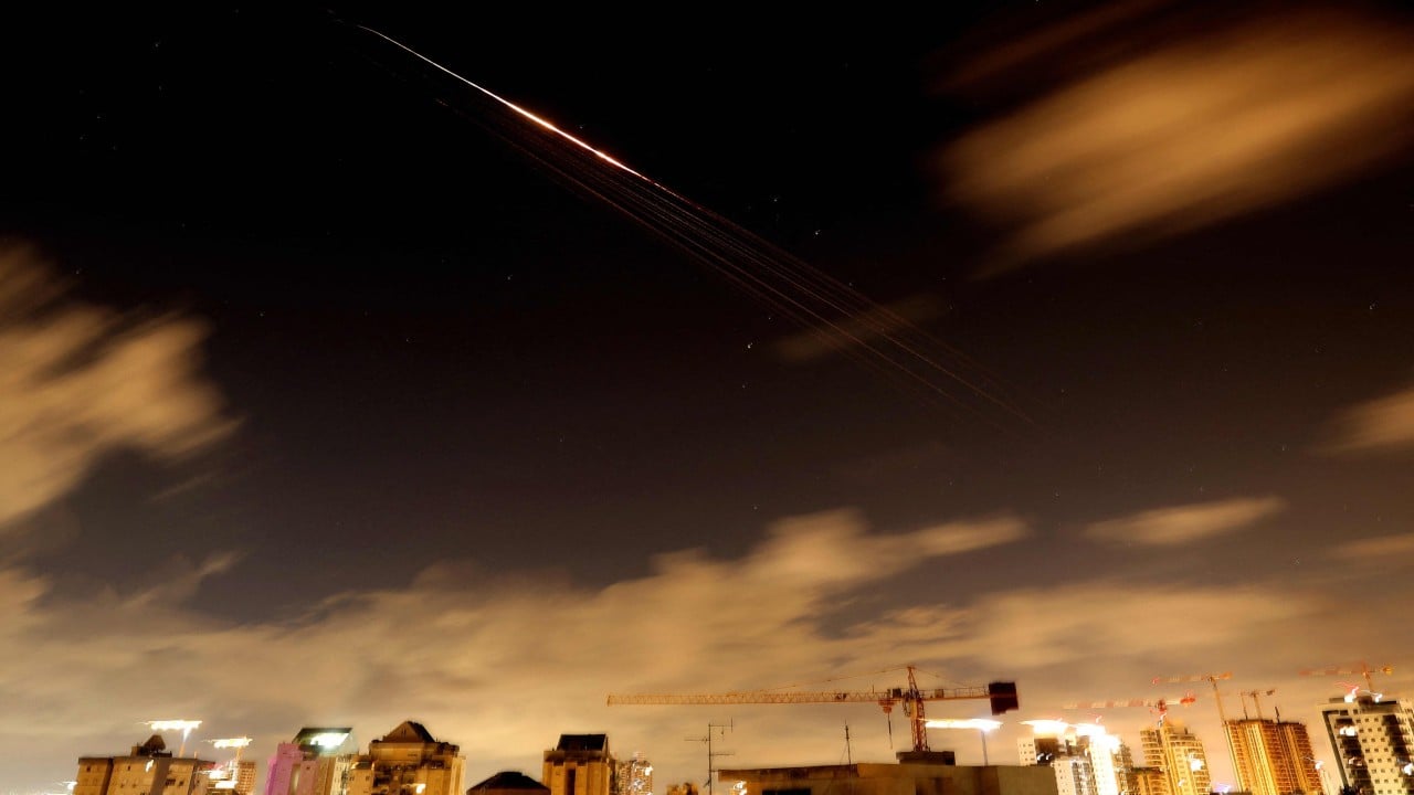
Chinese military researchers have reportedly developed an algorithm capable of identifying electronic warfare units using open-source civil aviation flight data. Their study, published in the Journal of Geomatics Science and Technology on October 7, focused on pinpointing two suspected Israeli units near Haifa during the conflict with Iran.
The team, led by Du Lan at the People's Liberation Army's Information Engineering University in Zhengzhou, analyzed 43 days of flight data collected from open-source civil aviation systems between February 27 and April 10. They identified two areas of interference, with estimated positioning errors ranging from 10.9km to 18.9km (6.7-11.7 miles).
The algorithm pinpointed two distinct areas in the Mediterranean: Target Area 1, 80km northwest of Haifa, and Target Area 2, 30km northwest of the Gaza Strip. The researchers suggested these areas could correspond to efforts to counter different types of drone threats, though they could not definitively confirm the intended targets.
According to Du, the interference in Target Area 1 was likely aimed at countering long-range, highly spoofable drones like Iran's Shahed-136, requiring a more complex dynamic spoofing strategy. In contrast, Target Area 2 was inferred to have focused on short-range drones commonly used by groups in Gaza and the Houthi movement, which can be countered with a simpler, static spoofing strategy.
The researchers emphasized that their method, which relies solely on publicly available aircraft data, is low-cost and timely, offering valuable support for civil aviation safety and situational awareness in conflict zones. Future work will incorporate navigation data from ships to expand the method beyond civil aviation.
Written by urgent.news from South China Morning Post's reporting — not their text. Machine-written — may contain errors; check the original before relying on it.