Gaza before and after: New Google Maps imagery shows destruction of the Strip
The app has updated the satellite imagery for much of the Palestinian territory with photos from February 2026 that lay bare the effects of the Israeli offensive
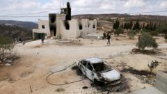
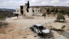
Satellite imagery from Google Maps reveals the extent of destruction across the Gaza Strip, nearly three years into the Israel-Hamas war. The images show neighbourhoods transformed and significant damage to farmland and civilian infrastructure. For Rafah in southern Gaza, images were captured in 2026, while northern Gaza images spanned 2025 and 2024.
As of June 16, 2026, UNOSAT estimated that 201,290 structures, around 82% of all structures in Gaza, had sustained damage, with 134,422 classified as destroyed. The Rafah imagery, captured in 2026, showed the same streets in 2023 with dense housing lined along the roads and greenhouses covering the fields. By February 2026, the housing was mostly rubble, greenhouses were gone, and dirt tracks and earthworks cut the ground.
The destruction has had severe economic consequences; a UNCTAD report stated that 92% of Gaza's economic establishments were damaged or destroyed since October 2023, and Gaza's GDP per capita dropped to $212 in 2025, just 17% of its 2022 level. Unemployment reached 78%, and more than 90% of the working-age population was unemployed. Only 3% of Gaza's cropland remained accessible and undamaged as of June 24, 2026.
Written by urgent.news from The Indian Express's reporting — not their text. Machine-written — may contain errors; check the original before relying on it.
This story
This is one outlet's version. Read the fullest account.