72 vessels, 17,336 fishing hours: The monitoring gap at Ghana’s first Marine Protected Area
Five months after Ghana declared its first protected ocean zone, there are no marked boundaries, operational patrols or government funding – and fishermen say they do not know where the protected area begins or ends. Ghana’s first marine protected area is missing from one of the world’s leading open-access systems for monitoring fishing activity at sea. The 703.86 sq km Greater Cape Three Points…
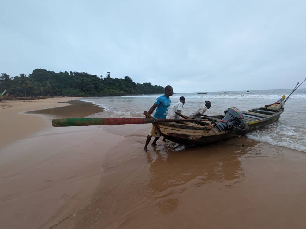
Five months after Ghana announced its first marine protected area, there remain no clear boundaries, operational patrols or government support. This absence of a marked boundary combined with a lack of patrols on the ground, along with the absence of the protected area from Global Fishing Watch, a platform that visualizes and analyses vessel activity at sea, highlights the fundamental issue of an operationalised zone.
The 703.86 square kilometer Greater Cape Three Points Marine Protected Area was declared on April 14th, 2026, to protect the critical marine habitats and help replenish fish stocks, which is crucial for the coastal communities that rely on fishing for their livelihoods. However, without clearly defined boundaries and operational patrols, the fishermen in the area do not know where the protected area begins or ends.
Nana Thomas Ade, the chief fisherman in Cape Three Points, one of the 21 communities within the MPA zone, stated that he does not know the boundaries of the protected area. Similarly, Kweku Arhin, a fisherman from Busua, also expressed his ignorance about the boundaries.
Written by urgent.news from MyJoyOnline Ghana's reporting — not their text. Machine-written — may contain errors; check the original before relying on it.