Autonomous Drone Navigation for Search-and-Rescue Missions
How AI-controlled autonomous UAVs can run search-and-rescue missions using YOLOv11 detection, dlib face recognition, and body-keypoint tracking.
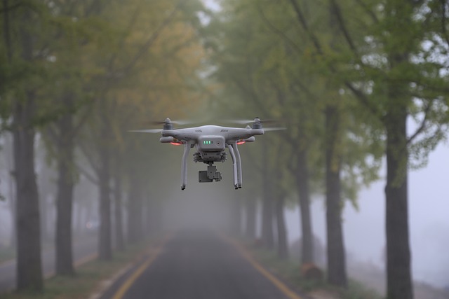
Autonomous drone navigation is revolutionizing search-and-rescue (SAR) missions. A team of scientists from the University of Zagreb has developed a UAV-based rescue subsystem that incorporates people detection, face recognition, and body-keypoint tracking. The system is designed to enhance the effectiveness of SAR operations by reducing the personal risk for human experts.
The researchers implemented a UAV-based rescue subsystem that focuses on three primary tasks: system identification and tuning of the UAV's independent PD controllers, people detection, and body tracking using CNN models. System identification involves recording telemetry data from the UAV's IMU and identifying the dynamic model using MATLAB's System Identification Toolbox.
Tuning was performed by modeling the system and running analysis in Simulink, ultimately selecting PD controllers for all three actions due to their responsiveness and stability tradeoff.
For people detection, the researchers utilized the You Only Look Once (YOLO) deep-learning object-detection model, specifically YOLOv11. YOLOv11 is known for its state-of-the-art performance and wide usage in object-detection tasks. Once people are detected, face detection and facial recognition are performed using the dlib library and its ResNet-based deep-learning algorithm.
The extracted faces are then aligned to a standard position for accurate recognition and compared against a reference photo to determine if the individual is recognized.
Body tracking was achieved using a CNN model, such as YOLOv11-pose, which identifies 17 body keypoints. The algorithm maintains a constant relative distance between the UAV's camera and the individual's body by using the distance between the person's shoulders and hips as a reference dimension. This approach addresses the limitation of earlier algorithms, which struggled with face visibility in complex environments.
The completed system was assembled in the ROS2 framework and tested using a DJI Tello drone, demonstrating the potential for significant improvements in SAR missions through autonomous drone navigation.
Written by urgent.news from HackerNoon's reporting — not their text. Machine-written — may contain errors; check the original before relying on it.