UN-backed map must depict India's territory accurately: Govt
'Not specific map', P 9
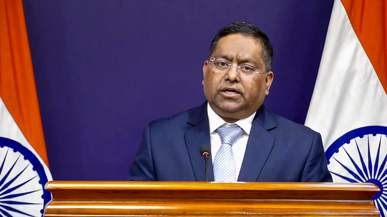
The Indian government has emphasized the importance of accurately depicting the country's territory on an equal-area world map endorsed by the United Nations. After voting in favor of the resolution, the government stressed that the new map must include India's sovereign territory, including Union territories Jammu & Kashmir and Ladakh, according to the official Indian map.
MEA spokesperson Randhir Jaiswal affirmed that the resolution's intent is to encourage the use of equal-area map projections, preserving the relative sizes of continental landmasses, but it does not endorse any specific map or address political cartography. India, along with 164 other countries, voted in favor of the resolution, which aims to promote more accurate cartographic representation, particularly for regions like Africa, Latin America, and South Asia, which are often misrepresented in current maps.
Despite abstentions from several countries and a lone vote against from the US, India welcomed the resolution's goal of fostering more equitable cartographic practices.
Written by urgent.news from Times of India's reporting — not their text. Machine-written — may contain errors; check the original before relying on it.
Also reported by 1 other outlet
- UN-backed world map must depict J&K, Ladakh accurately: India hindustantimes.com