'Europe shrinks, Africa grows': The UN vote that could change the world map you know
The UN has backed a shift towards maps that show continents closer to their true size, with India supporting the African-led move. The United States is the only country that has casted a vote against the resolution.
For centuries, the world has been represented on maps in a way that is not entirely accurate, with Europe and North America often appearing larger and more prominent than they truly are. This is due to the limitations of representing a three-dimensional globe on a two-dimensional surface, a problem known as cartographic distortion.
The Mercator projection, created in 1569, is a particularly notable example of this issue. It was designed to aid navigation but results in exaggerated sizes for land masses, especially as one moves away from the equator.
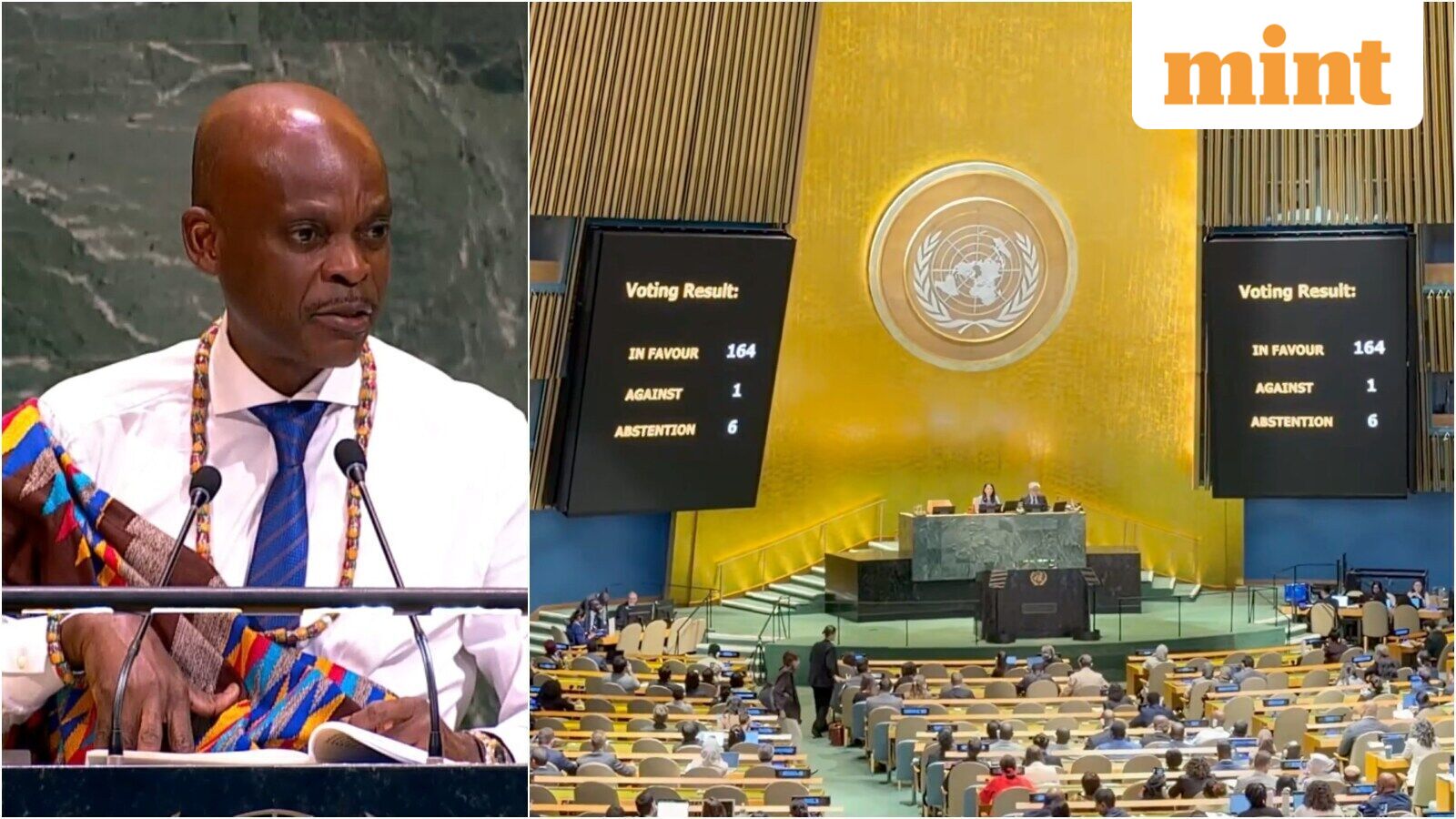
Recently, the United Nations has taken a significant step towards addressing this distortion. In a landmark resolution, the UN General Assembly adopted a push for map projections that more accurately represent the relative sizes of countries and continents. This initiative, championed by Togo and supported by the African Union, received overwhelming support from 164 countries. Only the United States voted against it, citing concerns over an ideological agenda, while six countries abstained.
The primary criticism of the current map projections is their distortion of Africa and other equatorial regions. For instance, Greenland often appears to be almost as large as Africa on a Mercator map, when in reality Africa is about 14 times larger. This exaggeration of northern regions has been argued to symbolically minimize the importance of Africa and create an unbalanced understanding of global geography.
The African Union framed the campaign as an effort towards a fairer and more accurate representation of the continent and other regions.
The resolution promotes alternative map projections, such as the Equal Earth projection, which aims to preserve the relative sizes of land masses as closely as possible. Under this projection, Africa would indeed appear much larger due to its actual size, while minimizing the distortion of other regions. However, some distortion of shapes is inevitable when flattening a globe.
Despite the UN resolution not being legally binding, it could influence the maps used in education, institutions, and technology, potentially leading to a more accurate representation of our world.
Written by urgent.news from Live Mint's reporting — not their text. Machine-written — may contain errors; check the original before relying on it.