UN adopts major map reform to show true scale of continents
The United Nations General Assembly voted on Friday for a resolution spearheaded by several African countries to adopt a map that makes their continent bigger while shrinking North America and Europe — aiming at “a more accurate representation” of world geography. The resolution was backed by 164 countries while the United States voted against it and six other states abstained. The new map —…
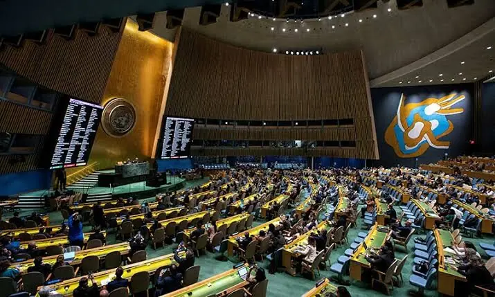
The United Nations General Assembly approved a resolution on Friday, spearheaded by several African countries, to adopt a new world map that makes continents larger and Europe and North America smaller, aiming for a more accurate depiction of global geography. The resolution, backed by 164 countries, contrasts with the United States' opposition and the abstention of six other states.
The new map, known as the Equal Earth cartographic projection, is designed to accurately represent the sizes of continental landmasses, offering a more truthful representation of the world. It urges member states to replace the traditional Mercator projection, which was originally created for maritime navigation by Flemish cartographer Gerardus Mercator in 1569.
The map's creator, Bojan Savric, explained that it preserves the relative surface areas of continents, while also attempting to maintain their shapes as they appear on a globe. The foreign ministry of France, a co-sponsor of the resolution, announced its decision to abandon the Mercator projection, stating that the current map exaggerates the visual prominence of countries like the United States, Russia, and China, while underrepresenting Africa, Latin America, and southeast Asia.
Notably, Greenland appears nearly as large as Africa in the Mercator projection. The initiative aims to improve relations with Africa, particularly with former colonies that have tense ties with France.
Written by urgent.news from Dawn's reporting — not their text. Machine-written — may contain errors; check the original before relying on it.