LiDAR survey to look for Lakkundi’s hidden monuments
MoU was signed on August 27 for use of LiDAR surveys, GIS Mapping, Remote Sensing, Ground Penetrating Radar (GPR) and other technologies to help locate structures that may have been concealed by vegetation overgrowth
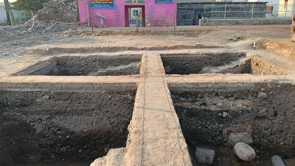
The Department of Archaeology Museums and Heritage (DAMH) has joined forces with the National Institute of Advanced Studies (NIAS) in Bengaluru to uncover hidden monuments in Lakkundi, a historic urban center from the 10th to 12th centuries CE located in Gadag district. Local tradition suggests that there are 101 concealed wells and temples, indicating that Lakkundi's known monuments may only represent a fraction of its larger archaeological story.
DAMH and NIAS plan to employ cutting-edge technologies like LiDAR surveys, GIS mapping, remote sensing, ground penetrating radar (GPR), drone documentation, photogrammetry, and others to document the archaeological sites. The six-month project aims to provide a more accurate depiction of the heritage landscape. An MoU was signed on August 27, following discussions between then Minister H.K.
Patil and former ISRO chairman Kiran Kumar, who proposed the use of LiDAR and suggested NIAS for the project. NIAS will examine old photographs, conduct remote sensing, and scan the area to identify locations of buried or concealed structures, helping the department focus on excavation sites instead of relying on conventional surveys.
The Joint Coordination Committee will oversee the project, with the goal of promoting sustainable development, conservation, and management of monuments and cultural heritage sites. Lakkundi, known as Lokki-Gundi in inscriptions, holds a significant position in Indian architectural history, as its preserved monuments belong to the Kalyana-Chalukya period (10th-12th centuries CE).
The project also serves as a potential roadmap for the State government's plans to include Lakkundi in the tentative list of UNESCO World Heritage Sites. Similar technology-based studies are being planned for the ancient sites of Nagavi, Chittapur, Kalaburagi district, and Rajghatta near Doddaballapur.
Written by urgent.news from The Hindu's reporting — not their text. Machine-written — may contain errors; check the original before relying on it.