Decoding Rocks to Reveal What the Critical Zone Hides
Rock physics models translate geophysical measurements into volumetric rock and fluid properties to quantify weathering trends, water storage, and architecture within Earth's critical zone.
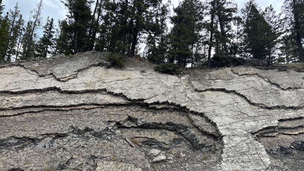
The critical zone is Earth's outermost layer, extending from the tops of trees down to weathered bedrock. Within this zone, physical, chemical, and biological processes gradually transform solid rock into a porous material that stores and conveys water and nutrients vital for ecosystems. This zone is crucial because it controls water availability, groundwater recharge, nutrient cycling, and the evolution of landscapes over long timescales.
Beneath the soil, the subsurface critical zone is composed of layers ranging from chemically altered and physically weakened rock (saprolite) to fractured and partially weathered bedrock, and finally to fresh bedrock at the base. These layers are not sharply defined but slowly blend together, with varying thicknesses depending on factors such as rock type, climate, topography, and tectonic history.
This complex structure governs water infiltration, storage, and movement toward streams and plant roots, making it essential for understanding water availability, groundwater recharge, nutrient cycling, and landscape evolution.
Rock physics plays a critical role in deciphering the critical zone by providing quantitative relationships that translate indirect geophysical measurements into meaningful rock properties. While geophysical methods can image the subsurface, they cannot directly measure properties such as porosity and water saturation. Rock physics models offer the missing link by converting these geophysical signals into quantitative estimates of porosity, water saturation, permeability, and other critical zone properties.
This transformation of qualitative images into quantitative data enables researchers to test hypotheses about weathering, water storage, and the critical zone's response to environmental changes.
Several geophysical methods are employed to study the critical zone. Seismic refraction and surface-wave techniques measure the speed of elastic waves to infer subsurface layering and depth to bedrock. Electrical resistivity tomography (ERT) injects electric current into the ground to map resistivity, which correlates with porosity, water content, and clay content.
Ground-penetrating radar (GPR) uses radio-frequency waves to create detailed images of contrasts in dielectric permittivity due to variations in porosity, composition, and water content. Nuclear magnetic resonance (NMR) directly detects hydrogen in water, providing quantitative information about water content and pore size. Combining these methods yields a more comprehensive and reliable picture of water and structure within the critical zone.
Rock physics models are essential for interpreting geophysical data because geophysical measurements are inherently non-unique; different combinations of rock properties can produce the same measured response. These models encode the physical relationships between the measured signals and the underlying rock and fluid properties.
They are derived from empirical observations or based on first principles describing how grains, pores, and fluids behave. By incorporating these models and mathematical inversion techniques, researchers can convert geophysical property fields into quantitative estimates of porosity, saturation, permeability, and the associated uncertainties, thereby integrating geophysical data into hydrological and geochemical models of the critical zone.
Written by urgent.news from Eos's reporting — not their text. Machine-written — may contain errors; check the original before relying on it.