Satellite images show bedrock and glacier collapsed on Nepal-China border, then rivers flooded
As rescue teams searched for missing people following catastrophic flooding along the Nepal-China border, Earth scientists reviewed satellite imagery for clues to the cause and assessed the devastation.

Rescue efforts are underway following catastrophic flooding along the Nepal-China border that killed hundreds and left many missing. Satellite images revealed that part of a glacier had broken off from Langtang Lirung peak, causing bedrock underneath to collapse. This massive chunk of ice and rock then sent debris into the valley, burying villages downstream.
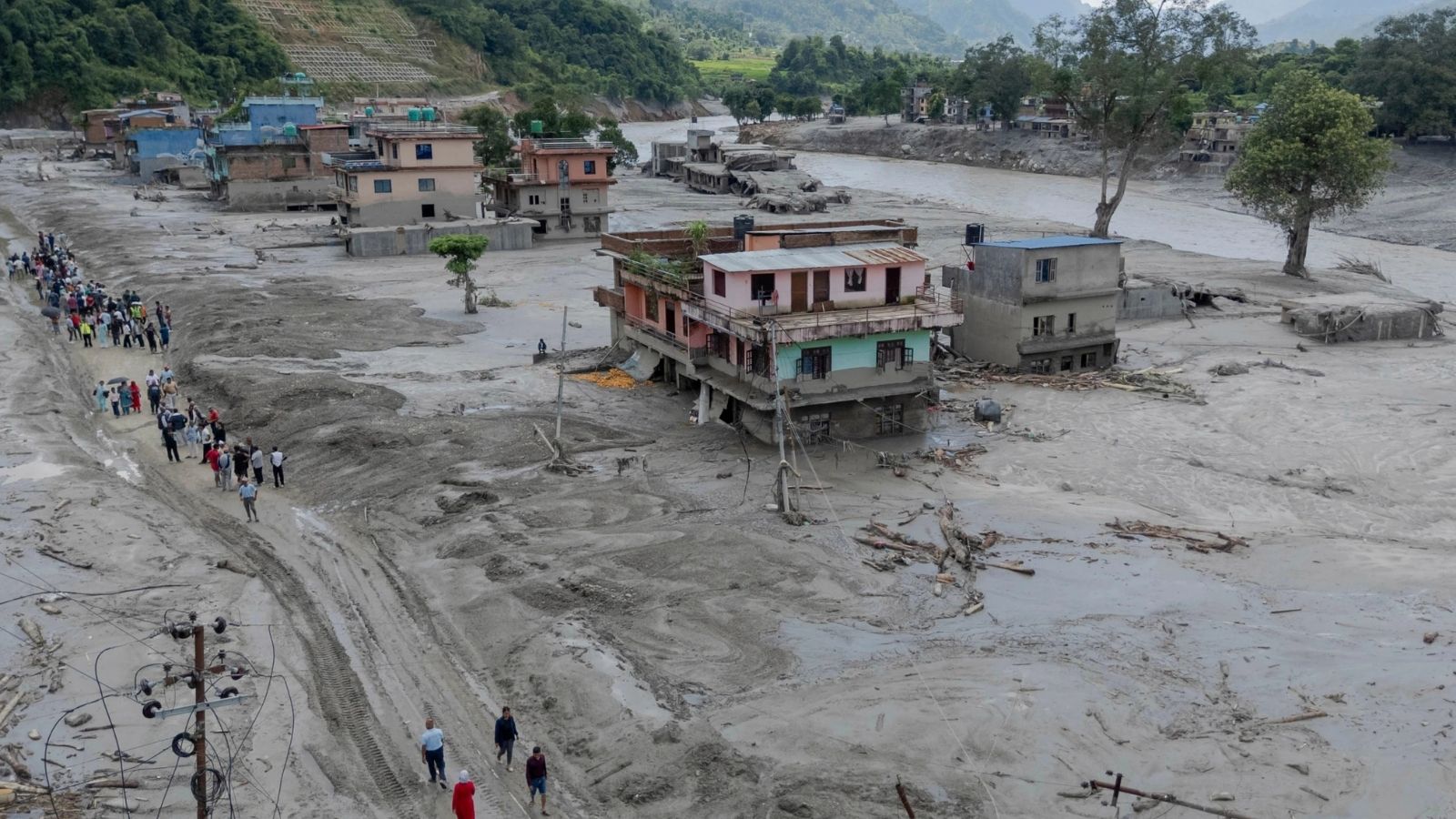
The Trishuli River swelled during the flooding, turning a greenish color due to the sediment carried by the water. Towns and villages along the riverbanks are now submerged in debris and mud, with some houses barely visible. This is the largest glacier flood the mountain geographer Alton Byers has witnessed, and he believes it is related to climate change.
While a direct causal link has not been confirmed, warming trends are causing glaciers to melt and permafrost to weaken, increasing the risk of such events.
Written by urgent.news from Phys.org's reporting — not their text. Machine-written — may contain errors; check the original before relying on it.
Also reported by 8 other outlets
- Why a newly formed lake is sparking fears of more flooding along the Nepal-China border apnews.com
- Why a newly formed lake is sparking fears of more flooding along the Nepal-China border news.mongabay.com
- Nepal-China border: Why a newly-formed lake is sparking fears of more flooding timesofindia.indiatimes.com
- Landslide lake overflows on Nepal-China border renews fears of another deadly flood thevibes.com
- Why a newly formed lake is sparking fears of more flooding along the Nepal-China border phys.org
- Lake overflows on Nepal-China border, sparking panic and halting rescue channelnewsasia.com
- Satellite images show bedrock and glacier collapsed on Nepal-China border, then rivers flooded gulfnews.com
- Why a newly formed lake is sparking fears of more flooding along the Nepal-China border winnipegfreepress.com