Glacier sheared off, plunged 1.2km before ‘liquid concrete’ flood swamped Nepal
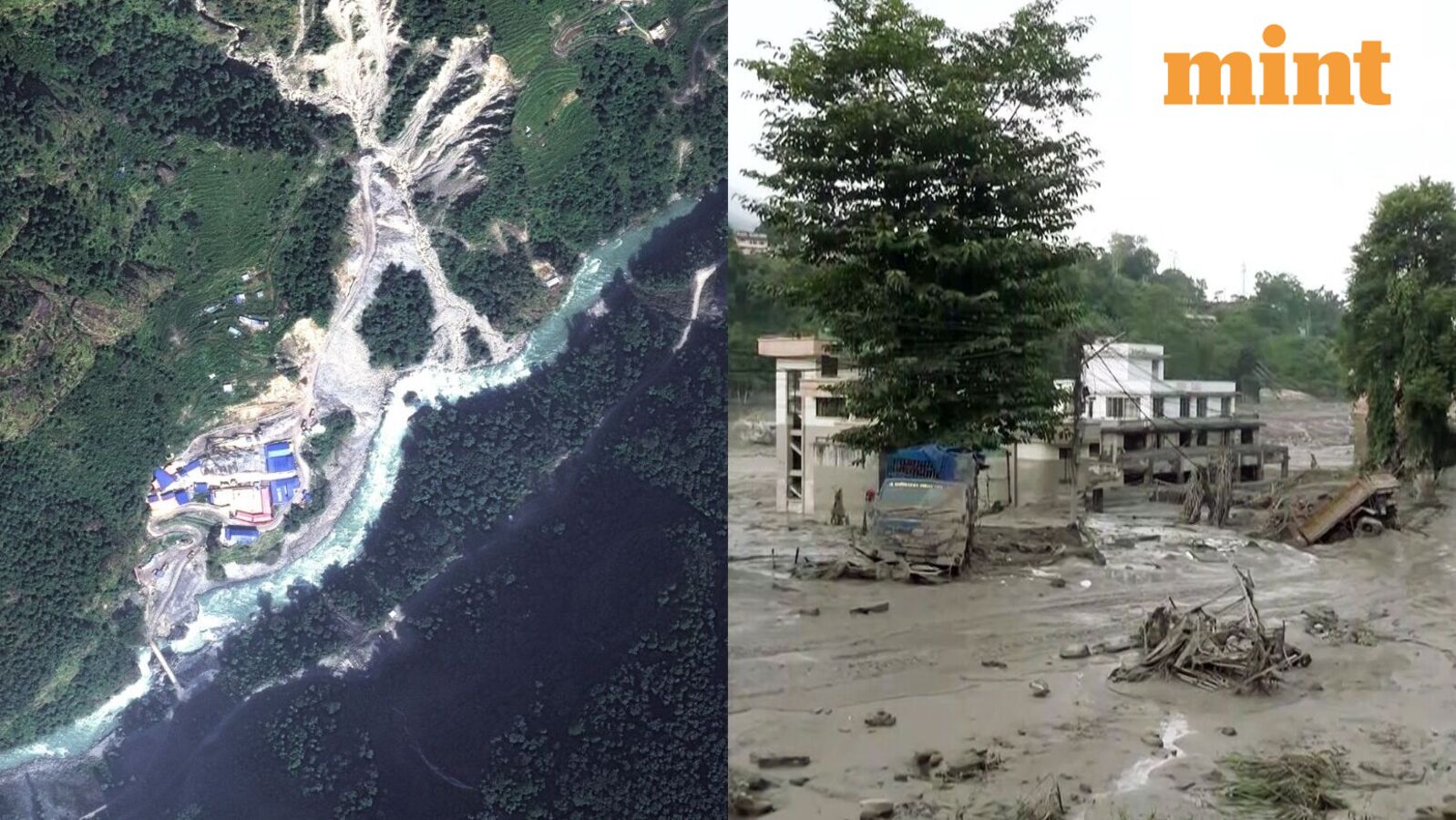
Satellite images analysed by Isro’s national remote sensing centre showed that almost two-thirds of the glacier body had detached. A Sentinel-2 image from Aug 24 showed the glacier intact, while a Landsat-9 image taken after the disaster on Aug 26 revealed a large scar identified as the “zone of glacier breakage and collapse”. The images also traced a broad ice-rock avalanche path descending…

A significant portion of a high-altitude glacier near the Nepal-Tibet border disintegrated, plummeting approximately 1.2 kilometers into the Lhende Khola river basin on Wednesday. This event set off a chain of occurrences, as falling ice amassed rock, snow, and sediment, temporarily obstructed the river, and finally released a torrent of debris into the Bhote Koshi-Trishuli corridor, according to satellite analysis and scientists' evaluations. The incident took place on the Nepalese side of the border.
Satellite imagery analyzed by Isro's national remote sensing center revealed that nearly two-thirds of the glacier body had detached. A Sentinel-2 image from August 24 depicted the glacier intact, while a Landsat-9 image captured shortly after the disaster on August 26 displayed a vast scar designated as the "zone of glacier breakage and collapse." The images further traced a substantial ice-rock avalanche path flowing towards the river.
The magnitude of the fall played a pivotal role in the subsequent events. Daniel Shugar, a geomorphologist at the University of Calgary, estimated from Planet Labs imagery that roughly 200 square meters of ice broke away at an altitude of approximately 5,200 meters and "collapsed about 1.2 kilometers vertically" to the valley floor.
The descent "converted a substantial amount of gravitational energy into motion, enabling the mass to fragment and carry away loose material instead of remaining a relatively cohesive block of ice."
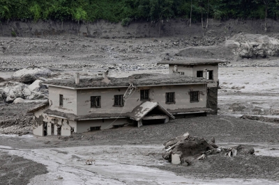
As the avalanche descended, it grew in size. Simon Cox, principal scientist at Earth Sciences New Zealand, stated that the collapsing glacier evolved into "a very large debris flow," gathering rocks, sediment, trees, and other materials in its path. This sequence elucidated why the flood exhibited markedly different characteristics compared to a typical rise in river water.
Hatim Sharif, a hydrologist at the University of Texas at San Antonio, described such rapid-moving mud-and-water flows as "like liquid concrete" - dense enough to carry away vehicles, structures, and large boulders rather than merely flowing around them. The collapse was intense enough to be detected by seismic instruments.
Written by urgent.news from Times of India's reporting — not their text. Machine-written — may contain errors; check the original before relying on it.