5 graphs that show how the record-breaking El Niño will affect the world
A stronger El Niño means more extreme weather, including droughts and wildfires in some places and flooding and tropical storms in others
The record-breaking El Niño climate phase currently underway is the strongest on record in some measurements. When it reaches its peak at the end of this year, sea surface temperatures in the eastern-central Pacific Ocean are projected to rise by 4°C, a 60% increase over the previous record.
El Niño alters atmospheric circulation patterns, leading to extreme weather conditions worldwide. This shift in weather can result in drought in some regions and flooding in others, causing damage to property and disrupting food supplies. While the specific impacts of each El Niño event differ, they tend to be stronger than those of previous events, as explained by Nick Dunstone from the UK Met Office.
The formation of El Niño occurs when trade winds weaken, allowing warm water from the "warm pool" in the western Pacific to move back eastward. This massive blob of warm water heats the atmosphere, causing rising moist air to shift the Walker circulation eastward. As a result, the warm, dry air sinks over South America instead of the eastern Pacific, and a similar loop of warm, dry air sinks over South-East Asia and Australia.
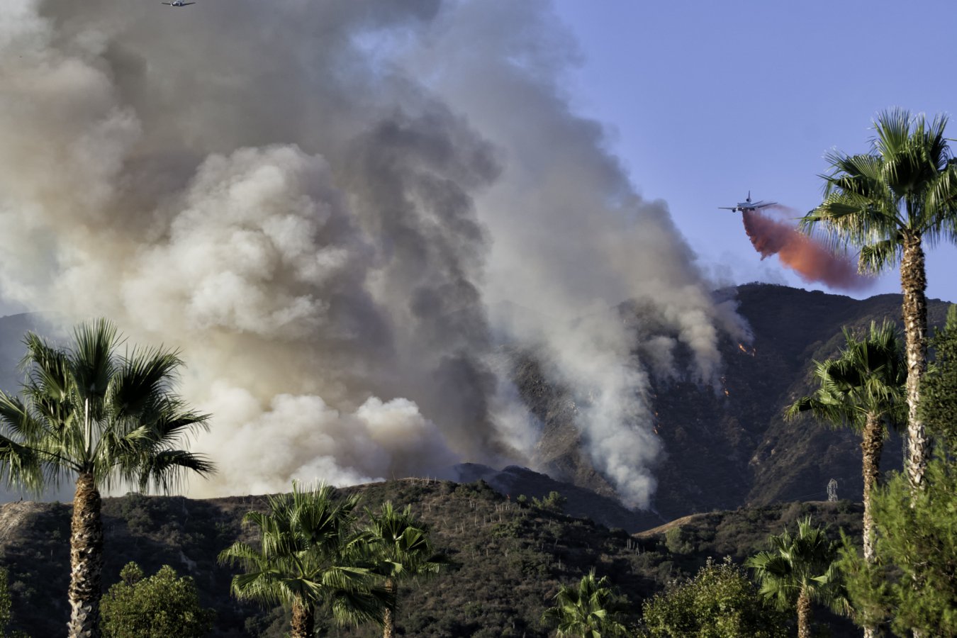
This shift in weather patterns increases the risk of wildfires, particularly in areas like the Amazon, Borneo, and Indonesia.
El Niño also affects global food production. The Met Office predicts dry conditions in Central America, where several major coffee producers are located, and in India, the world's largest rice exporter. As a result of El Niño, India is experiencing its weakest monsoon since 2009, which will significantly impact the rice crop. Global rice production is expected to fall by 9 million tonnes in 2026-27, raising prices for a crucial staple that half the world's population relies on.
While the majority of El Niño impacts tend to be negative, such as increased wildfires and food shortages, there is one potential positive outcome: a reduced likelihood of hurricanes hitting North America in the summer and fall. This is due to El Niño intensifying high-level westerly winds, which can disrupt the formation of tropical storms by creating wind shear.
The Atlantic hurricane season has been unusually quiet, with only three named storms so far, all of which have been relatively short-lived. The US National Oceanic and Atmospheric Administration predicts that conditions will remain less active than normal, generating zero to two major hurricanes.
However, the Pacific is generally experiencing weaker winds, allowing large tropical storms to form and potentially cause more damage when they make landfall in Asia.
Written by urgent.news from New Scientist's reporting — not their text. Machine-written — may contain errors; check the original before relying on it.