With drones and AI, we can monitor a million trees: Farmers for Forests co-founder Krutika Ravishankar
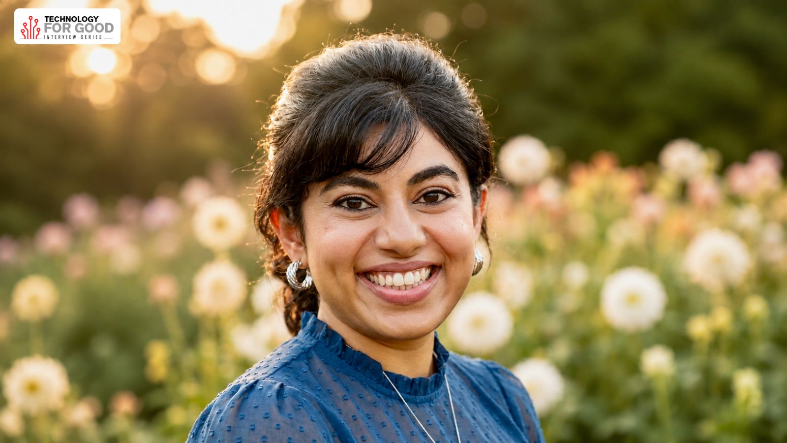
Krutika Ravishankar is the co-founder and executive director of Farmers for Forests (F4F), a non-profit organization that works to protect and increase India's biodiverse tree and forest cover while collaborating with communities vulnerable to climate change. With over a decade of experience in rural India, Krutika has worked in agriculture, forestry, food security, and public health sectors.
She has also held positions at the World Bank and the Abdul Latif Jameel Poverty Action Lab (J-PAL). Krutika has received several awards, including being an Elevate prize winner, an Ashoka fellow, and a Mulago fellow. She holds a bachelor's degree in economics and environmental studies from Mount Holyoke College, USA.
F4F has two primary programs: agroforestry and sustainable forestry. In the agroforestry program, farmers grow fruit trees, shrub trees, a ground-cover crop, and timber trees along their boundaries. Under this model, farmers can earn between Rs 2 lakh to Rs 2.5 lakh per acre, sometimes reaching up to Rs 6 lakh per acre. The sustainable forestry program aims to reduce forest fires, remove invasives, increase biodiversity, and prevent unnecessary logging. The organization works with 20,000 households directly, covering over five lakh acres of land.
The agroforestry model involves providing farmers with high-quality saplings, drip irrigation systems, and organic fertilizers. The cost of these materials is split between the farmer and philanthropy or carbon finance. Drones are used to collect data on tree numbers, height, species, and health. This data is fed into an AI model, which can also detect invasive species and measure irrigation systems.
The use of technology is crucial for monitoring over a million trees as manual methods would be impractical. Data collection includes land location, activities, income levels, asset ownership, soil health, and future aspirations. This information is gathered through a mobile phone app and satellite imagery, helping plan interventions for tree species, market linkages, and biodiversity.
Written by urgent.news from The Indian Express's reporting — not their text. Machine-written — may contain errors; check the original before relying on it.