1,200 Starlink satellites help map Earth's hard-to-observe upper atmosphere
Starlink satellites are now helping scientists map Earth's upper atmosphere. Researchers used orbital data from Starlink to estimate thermosphere density. This method creates a two-dimensional map of atmospheric density variations. The findings offer a new way to study this difficult-to-observe region. Commercial satellite data is becoming an unexpected scientific resource.
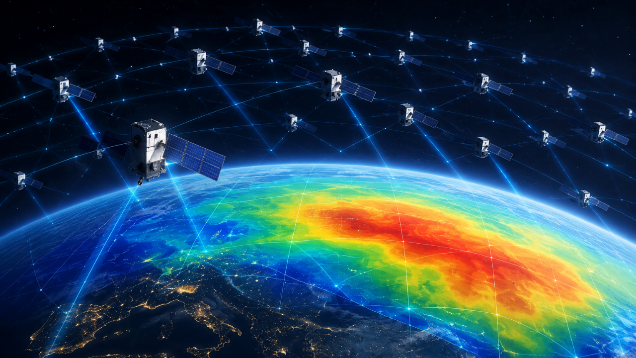
Scientists have utilized a network of Starlink satellites, originally designed for internet connectivity, to gain new insights into Earth's difficult-to-study upper atmosphere. A study from Kyoto University analyzed public orbital data from around 1,200 Starlink satellites at about 482 kilometers above Earth to map the density of the thermosphere.
By examining how slight orbital changes were caused by atmospheric drag and applying a mathematical technique called tomography, the researchers created a two-dimensional map showing how thermospheric density varies across different regions of the planet. This method provides a new way for scientists to observe the thermosphere, which extends from 100 to 1,000 kilometers above Earth's surface, even though the atmosphere is extremely thin at these altitudes.
The ability to map thermospheric density across different parts of the planet is significant because it can help improve models predicting satellite movement, especially as low Earth orbit becomes more crowded with satellites, debris, and inactive spacecraft.
Written by urgent.news from Times of India's reporting — not their text. Machine-written — may contain errors; check the original before relying on it.