Web and app tip: Google Maps: Easily measure routes and areas
With just a few clicks, Google Maps can be used to measure not only distances but also areas, such as property sizes. How it works on the computer and where the app reaches its limits.
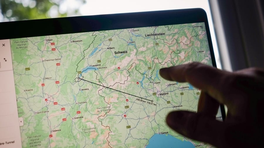
Google Maps offers a convenient feature to measure distances and areas, whether you're walking, driving, or cycling. To calculate the straight-line distance between two points, simply right-click on the starting location and select "Measure distance" from the context menu. Place the cursor on the map where the destination point is located and click the left mouse button. The straight-line distance will be displayed on the map and in a small box at the bottom of the screen.
If you need to measure a route that takes into account the actual path, not just a straight line, click on the starting point with the left mouse button and drag the cursor to the destination point. Google Maps will automatically connect multiple points and calculate the total distance covered.
The function extends further by allowing users to define areas. By left-clicking on additional points on the map, users can create enclosed spaces. Google Maps will then calculate the square meter measurement of the area enclosed by these points. This process continues until the user returns to the starting point, at which point the system displays not only the total length of the loop but also the enclosed area's size in square meters.
This feature can be utilized both in the desktop version and the mobile app of Google Maps. However, it's worth noting that area calculations are currently only available for straight-line distances in the mobile app. To measure a straight-line distance using the mobile app, place your finger on the starting point and hold it until a context menu appears.
Then, select "Measure distance" from the bottom of the menu, and slide the map around until the destination point is aligned. The distance will be displayed at the bottom left of the screen. If desired, additional measurement points can be added by tapping the plus sign above "Add" at the bottom right.
Written by urgent.news from Handelsblatt's reporting — not their text. Machine-written — may contain errors; check the original before relying on it.