Dubai Police use AI maps to send patrols to emergencies faster
Dubai: Dubai Police are using artificial intelligence to pinpoint emergencies, identify crime hotspots and direct patrols along the fastest routes, helping officers cut response times and deploy resources more efficiently across the emirate. The AI-powered Smart Security Mapping Platform tracks emergency reports in real time, pinpoints incident locations and recommends the quickest routes and…
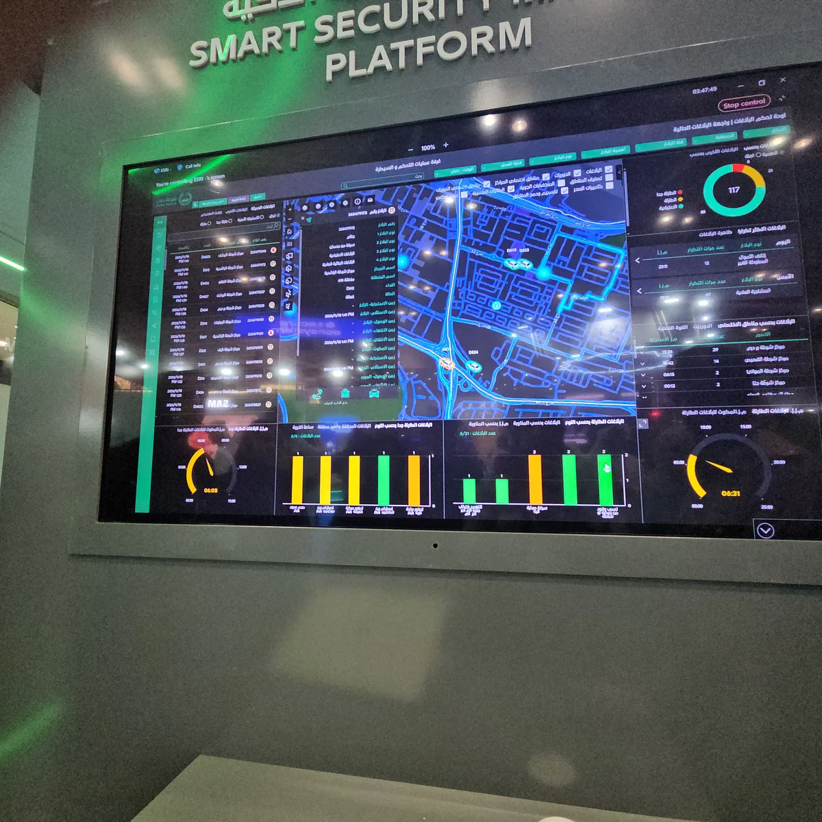
Dubai Police are leveraging artificial intelligence (AI) to expedite emergency response times by creating a Smart Security Mapping Platform. This cutting-edge technology swiftly tracks emergency reports in real time, identifies incident locations, and recommends the fastest routes for patrol vehicles, ensuring optimal deployment of resources across the emirate.
Lieutenant Hessa Al Muhairi demonstrated the AI-powered system at the fifth World Police Summit 2026, emphasizing its ability to provide live updates and enable rapid decision-making. The platform, built on Geographic Information System (GIS) technology from global enterprise Esri, integrates live emergency data, location information, and AI-powered geographical analysis to pinpoint emergencies accurately.
This enables Dubai Police to maintain security coverage, identify crime hotspots, and redistribute patrols efficiently when needed, all while striving to meet their three-minute emergency response target.
Written by urgent.news from Gulf News's reporting — not their text. Machine-written — may contain errors; check the original before relying on it.
This story
This is one outlet's version. Read the fullest account.