Three space companies selected to develop high-resolution 3D reconstruction techniques for Indian cities
The pilot demonstrations will cover Bengaluru and Shimla, and the deliverables will include the horizontal and vertical dimensions of urban settlements, offering a more comprehensive understanding of how Indian cities are expanding and densifying.
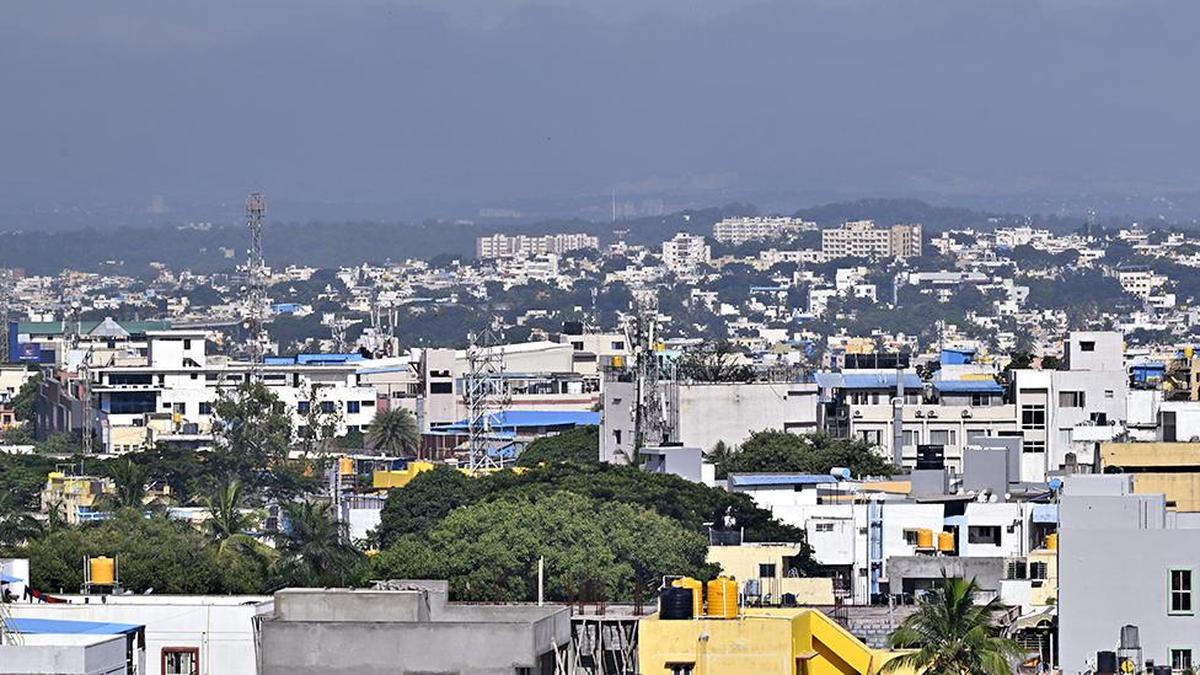
The Indian National Space Promotion and Authorization Centre (IN-SPACe) has selected three Indian space companies – SpacePixxel Technologies Pvt. Ltd., KaleidEO Space Systems Pvt. Ltd., and Azista Industries Pvt. Ltd. – to develop High-Resolution Indian Human Settlement Layers (IHSL) across Indian cities. The initiative aims to provide accurate and detailed geospatial data on human settlement, which can be used for urban planning, infrastructure development, disaster risk assessment, and population assessment.
The selected companies will develop models using Earth Observation data to generate three integrated outputs covering built-up surface and building type, building height, and built-up volume. The pilot demonstrations will cover Bengaluru and Shimla, representing distinct urban contexts of a large metropolitan region and a hill city.
Brief written by urgent.news from The Hindu - Sci-Tech's own syndicated text. Machine-written — may contain errors; check the original before relying on it.