Saifuddin: No dedicated digital map of illegal border routes, high-risk areas
KUALA LUMPUR: Authorities have identified 443 illegal routes and 281 hotspots used by smugglers since January.
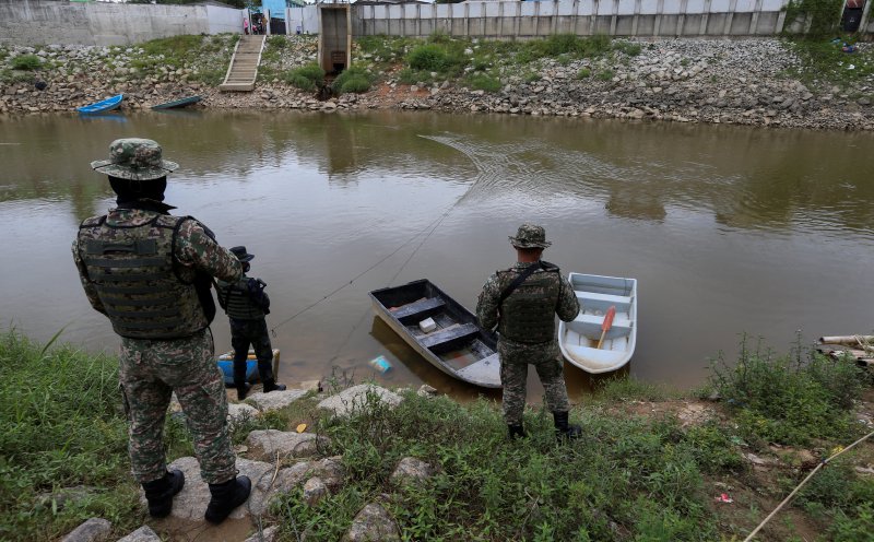
KUALA LUMPUR: Authorities have identified 443 illegal border routes and 281 hotspots since January, but there is no dedicated digital geospatial map of these locations, Home Minister Datuk Seri Saifuddin Nasution Ismail revealed. Border security enforcement agencies lack detailed information on illegal routes, high-risk areas, control weak points, and locations requiring immediate security intervention.
Despite this, continuous security control and monitoring are conducted in these areas through strategic measures by the General Operations Force. Saifuddin was responding to a written query from Rushdan Rusmi (PN-Padang Besar) regarding the status of digital mapping for the Malaysia-Thailand border in Perlis, as well as the identification of rat trails, high-risk areas, control weak points, and locations needing immediate security intervention.
The illegal routes and hotspots were reported to include areas in Sabah and Sarawak. To combat illegal border crossings, the General Operations Force employs various methods, including border security control through fixed posts, checks at Immigration, Customs, Quarantine and Security complexes, foot and vehicle patrols, roadblocks, and intelligence gathering.
The Natural Resources and Environmental Sustainability Ministry, through the Survey and Mapping Department, is responsible for marking and surveying international boundaries and maintaining the relevant geospatial data.
Written by urgent.news from New Straits Times's reporting — not their text. Machine-written — may contain errors; check the original before relying on it.