Pune: PMRDA To Use GIS-Based App To Detect Illegal Constructions, Track Land Encroachments & Monitor Fire Safety
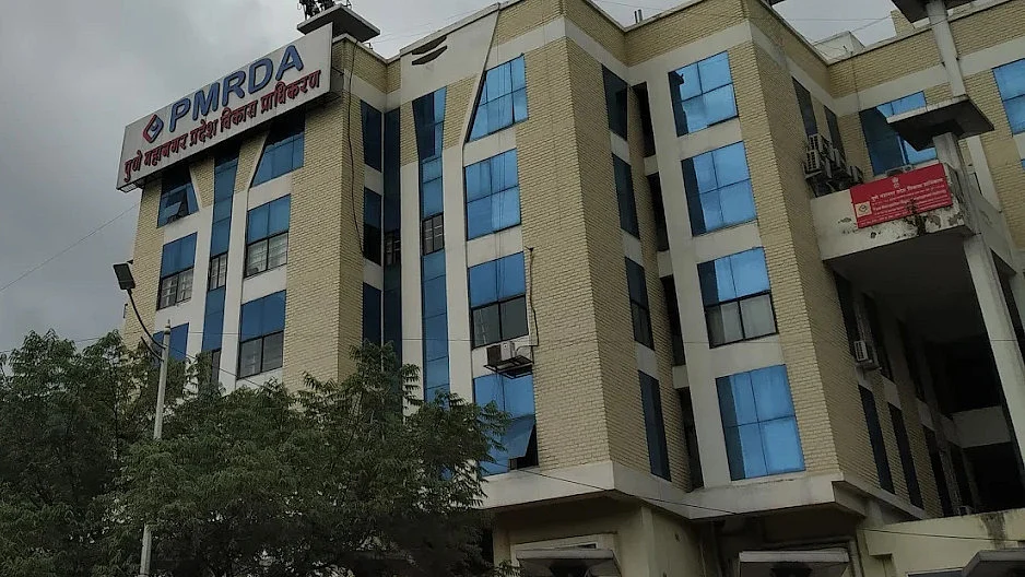
Pune: The Pune Metropolitan Region Development Authority (PMRDA) is introducing a Geographic Information System (GIS)-based digital monitoring system to track unauthorised constructions, government land encroachments and fire safety compliance across its jurisdiction. The system will connect four departments through a single Survey Mobile App, allowing officers to record field inspections, verify…
We haven't written up this one. Free Press Journal has the full story — the link below goes straight to it.