5,571 farm fire alerts, 1,536 FIRs: Why satellite detections don’t translate into police action
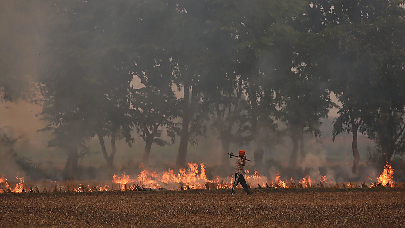
From September to November, Punjab witnessed 5,571 incidents of stubble burning, yet only 1,536 FIRs were registered. The lower FIR count does not solely indicate a lack of response to satellite alerts, but rather a series of factors come into play. According to enforcement officials, each satellite-reported fire undergoes field inspection and verification before any action is taken.
The Commission for Air Quality Management (CAQM) reports that physical inspections were carried out at 5,089 of the 5,571 satellite-detected locations, with crop burning confirmed at 2,176 of those. Out of the total 5,571 incidents, 1,536 FIRs were filed, accounting for nearly 27.6 percent of the satellite-detected incidents. This number also includes 1,769 entries of red-tagged farm records and 1,884 instances of environmental compensation.
Notably, 161 more cases of crop residue burning were found through ground-level inspections by the Parali Protection Force (PPF) and designated officers during field visits, demonstrating the importance of physical monitoring beyond satellite-based detection. However, the disparity between satellite alerts and enforcement actions can be attributed to various factors.
These include inaccuracies in satellite coordinates, instances where no stubble fire is present at the reported location, delays in physical inspections and challenges in establishing land ownership and identifying those responsible for the burning. A senior Agriculture Department officer points out that the 700 to 800 meters deviation in satellite coordinates can lead to situations where inspection teams find no evidence of burning at the reported GPS location.
Under the standard operating procedure, all satellite-reported incidents must be inspected within 24 hours by authorized officials. If no evidence of burning is found during physical inspection, a 360-degree video of the location must be uploaded to the designated portal for further verification. Establishing the responsible person can be difficult due to joint land ownership, outdated records, and cases where the recorded landowner has passed away.
Enforcing action requires legal land ownership verification and identification of the liable individual before any enforcement action can be taken. The figures reveal that satellite detection is merely the initial step, with timely field verification, accurate identification of the land and accountability of the responsible individuals playing a crucial role in determining the final enforcement actions.
Written by urgent.news from The Indian Express's reporting — not their text. Machine-written — may contain errors; check the original before relying on it.