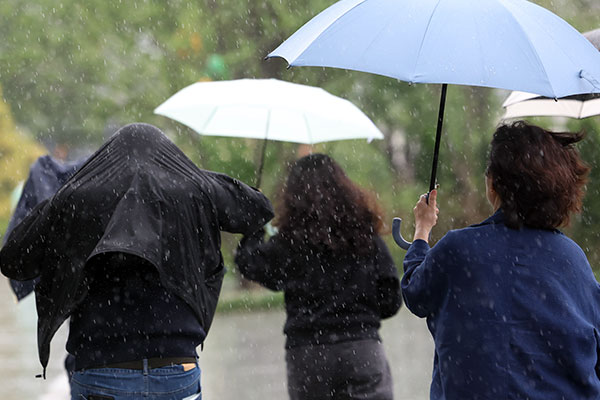
The Polar Vortex Is About to Make Weather Weird From the UK to the US
These Arctic currents have never broken down so early in the season. Combined with an unprecedented El Niño, the outcomes aren’t easy to predict.
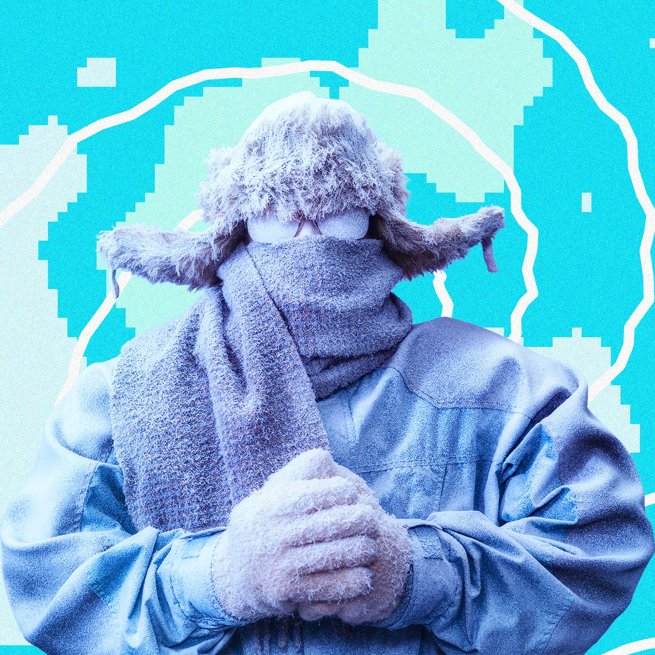
Experts remain uncertain about how the ongoing collapse of the polar vortex will manifest in everyday weather patterns across the UK and the United States. However, this development indicates that an erratic weather pattern may be on the horizon over the coming weeks and months.
The polar vortex refers to a high-altitude wind system encircling the Arctic region, much like a dam. Typically, this system is strong and stable, confining the coldest air to the North Pole. Nonetheless, fluctuations in this atmospheric circulation can occur, allowing frigid air to surge southward. The specific atmospheric conditions that trigger this vortex breakdown, in turn, dictate the nature of the weather conditions we might anticipate.
When upper-level winds dip southward into troughs, short-lived periods of cold weather occur. These "lobes" of the polar vortex are relatively commonplace during winters. Occasionally, the vortex can fragment into smaller pieces, trapping exceptionally cold air over the same regions for extended periods. A notable case occurred in early 2015 when a highly disrupted polar vortex sent a prolonged cold air surge sweeping across the eastern United States.
Chicago experienced its coldest February in nearly 140 years, while Lexington, Kentucky, recorded subfreezing temperatures as low as -18 degrees Fahrenheit, with the cold air extending all the way down to the Gulf of Mexico.
The earliest breakdown of the polar vortex on record is unfolding this early in the winter season, a phenomenon unprecedented in historical records. Such disruptions typically do not manifest until the latter stages of winter. According to the latest data, the polar vortex's reversal began on Tuesday and is expected to persist through Thursday.
Weather patterns take several weeks to react to a polar vortex disruption, if at all. Given that reliable forecasts typically extend only about 10 days into the future, the precise locations in the northern hemisphere where Arctic cold air may infiltrate remain unknown.
While experts continue to debate the underlying causes of this polar vortex breakdown, the event compounds an already cool season, which is already marked by another unprecedented event: the strongest El Niño on record. The unusually warm sea surface temperatures in the eastern Pacific Ocean have already exerted a significant influence on global conditions, and this impact will only intensify as we transition into the winter months.
Much of North America can anticipate warmer-than-normal conditions during a winter dominated by a robust El Niño. However, each event is unique, and with a sudden disruption in the polar vortex, these forecasts are less certain, as unforeseen phenomena may arise when unprecedented events coincide.
Written by urgent.news from Wired's reporting — not their text. Machine-written — may contain errors; check the original before relying on it.
This story
This is one outlet's version. Read the fullest account.