FEMA’s maps undercount the U.S. flooding risk by about 6 million homes — and some of those maps are two decades old
Most homeowner’s policies don’t cover flood damage.
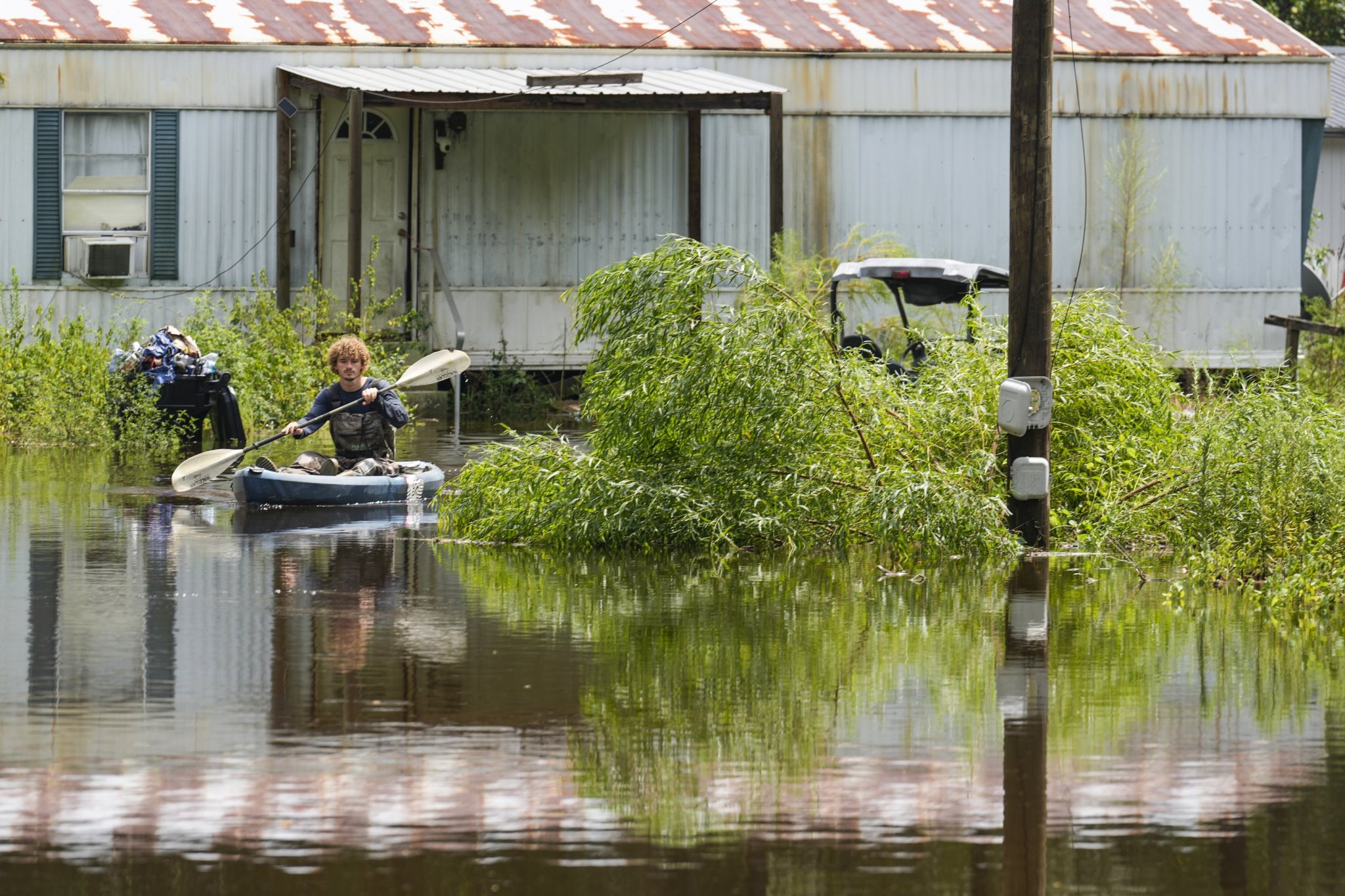
Homeowners often assume they are not at risk of flooding if they do not live in a federally designated flood zone. While such zones require flood insurance, the official maps may not reflect the true extent of the risk. Recent studies indicate that approximately 6 million more homes across the United States are at risk of flooding than previously thought, with some maps even being outdated by two decades.
FEMA's maps, although useful in determining whether or not a neighborhood is at risk, fail to provide a comprehensive understanding of an individual home's flood vulnerability. To gain a clearer picture of flood risk, additional data is required, including the probable depth of the floodwater, the home's age and construction quality, and its insurance coverage.
In Houston, a study examined the flood vulnerability of nearly 1 million homes, finding that factors such as building condition, traffic congestion, and insurance coverage play a crucial role in determining a home's risk. These details help inform homeowners about how to protect their property and guide local officials in allocating limited flood-protection funds to the most vulnerable properties.
Written by urgent.news from Fortune's reporting — not their text. Machine-written — may contain errors; check the original before relying on it.