Polar vortex faltering weeks earlier than ever recorded
Meteorologists said Friday they were observing an unprecedented early disruption of the polar vortex, raising the risk of cold snaps across the Northern Hemisphere, though there remains significant uncertainty.
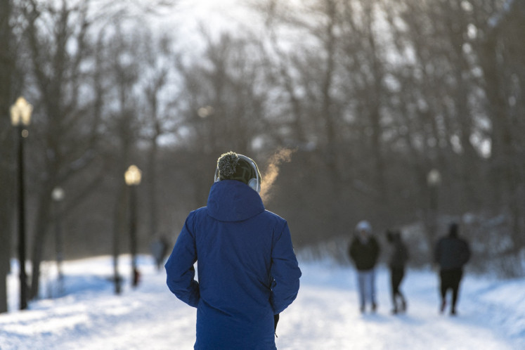
Scientists observed an unprecedented early disruption of the polar vortex on Friday, which could increase the risk of cold snaps across the Northern Hemisphere. The polar vortex, a vast region of cold, low-pressure air, usually strengthens through autumn and peaks around January. However, this one is weakening in early November, which is unprecedented.
Tim Stockdale and Frederic Vitart, principal scientists at the European Centre for Medium-Range Weather Forecast, stated that this is the earliest stratospheric vortex disruption ever observed. Judah Cohen, a climatologist at MIT, explained that the polar vortex is disrupted from below, with large atmospheric waves in the troposphere, known as Rossby waves, surging upward and causing a rapid warming known as sudden stratospheric warming.
This weakens the vortex's west-to-east winds, potentially splitting it apart and causing it to spill southward, increasing the chance of cold air outbreaks in densely populated areas.
The exceptionally strong El Nino event in the Pacific, which is currently ongoing, could be amplifying these waves, making the disruption more likely. However, Cohen believes the current disruption is more linked to a record-breaking high-pressure system over Scandinavia and northwestern Russia, which is more favored in La Nina years.
While the severity of any cold snaps is uncertain, Grahame Madge from Britain's Met Office called the event exceptional but not necessarily worrying, as El Nino, which tends to bring milder winters, could help moderate the impacts.
Written by urgent.news from The Jakarta Post's reporting — not their text. Machine-written — may contain errors; check the original before relying on it.